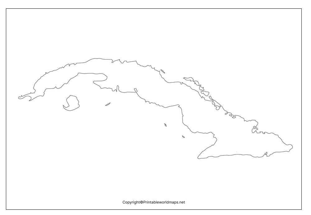
The Blank Map of Cuba represents Cuba, which is considered the largest island country situated in the Caribbean Islands or the West Indies. The Cuba map outline can be downloaded, printed, and used for educational purposes. From the Cuba outline map, it is possible for the user to learn and understand how to draw an accurate map of the country from scratch. The Cuba map outline template offers complete guidance to beginners so that they do not make any errors in the process of drawing the geography of the country.
- Blank Map of Armenia
- World map with continents
- Blank map of World
- labeled map of Asia
- Physical map of World
- Labeled map of Africa
- Blank Map of Egypt
- Labeled map of Europe
- World map poster
- World map with oceans
- World time zone map
- Blank Map of Ethiopia
- Blank Map of Azerbaijan
- Labeled map of World
- Labeled map of South America
- Blank Map of Sudan
- Labeled map of North America
- Blank map of Asia
- Blank Map of France
- Political world map
- Blank Map of Finland
- Blank Map of Fiji
Contents
Blank Map of Cuba Outline
Cuba covers a land area of 109,884 square kilometers. It is the largest country by land area in the Caribbean. Cuba is the sixteenth largest island on the globe with respect to its land area. It has a coastline ring running from north to south; the map depicts several archipelagos, which include hound reds of islands and cays. The land of Cuba is relatively soft flowing, gradually in the direction of hills, which consists of limestone hills. However, the coastal line of the country is mostly mountainous. Cuba is surrounded by Florida and The Bahamas in the south. Cuba has the Caribbean Sea to its north with Jamaica and the Cayman Islands. The country shares maritime borders with the US, Mexico, Jamaica, Honduras, Haiti, Bahamas. When compared to its land area, it is about the size of Bulgaria or slightly smaller than that of the US state of Pennsylvania.

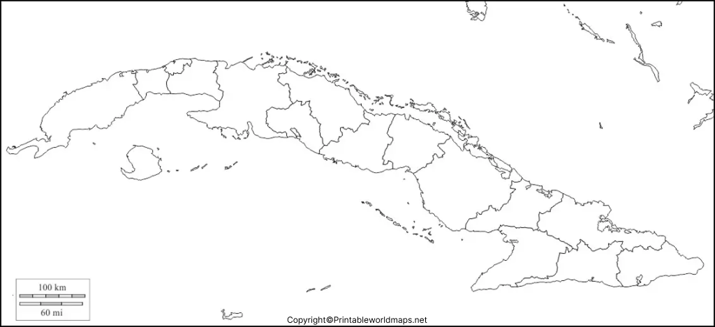
All the above details of Cuba can be marked on a blank map of Cuba, including mountains and bordering countries of the Island. It can be colored with different color configurations, which can be presented as part of a school assignment. As per official estimates of the population recorded in 2007, this island nation recorded a population count of 11.2 million. Its capital city is Havana, and the official language spoken is Spanish. Cuba Map Outline depicts provincial boundaries, the location of the national capital, major cities, main roads, railroads, and major airports.
Printable Map of Cuba

Users can gain access to various types of Cuba’s fully printable map in several sizes. They can use various color options as this map is made available to the user. It can be used for both personal or classroom purpose.
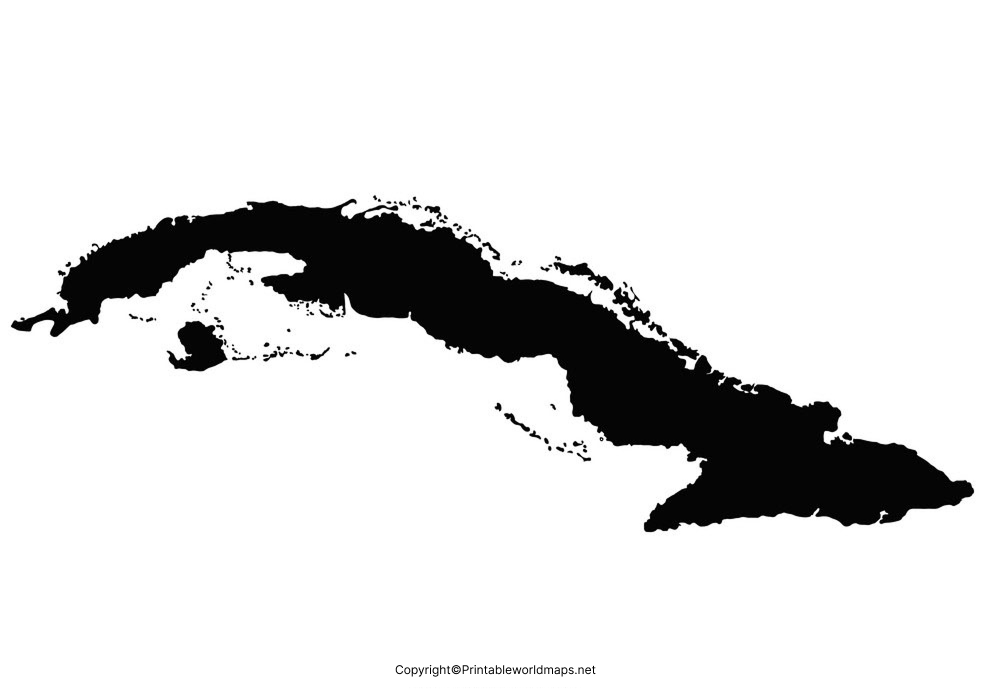
Transparent PNG Cuba Map

From the transparent PNG map of Cuba, it is possible for users to know more about Cuba’s geography with a transparent view. All that the user needs to do is to click on the map to visualize such geographic region of the country in a transparent way.
Map of Cuba for Practice Worksheet

A map of Cuba for practice worksheet enables all the students who are interested to learn the geography of Cuba. The practice worksheet is readily available and designed with questions related to the subject. Such a practice worksheet will facilitate the users in their regular practice. By doing so, the users can boost their geographical knowledge by answering all the questions in a given time frame.


