

A blank map of Cuba is a useful resource for students, teachers, geography enthusiasts, and anyone learning about the Caribbean. This page provides a printable Cuba map outline, a transparent PNG map, downloadable PDF versions, and a practice worksheet for learning Cuba’s location, shape, surrounding waters, and major geographic features.
Cuba is an island country in the Caribbean Sea and the largest country in the Caribbean by land area. Its capital is Havana, and Spanish is the official language. You can print the outline map for school assignments, label important locations, identify nearby islands, and practise basic map-reading skills.
Choose the map format that best suits your needs below.
- Blank Map of Armenia
- World map with continents
- Blank map of World
- labeled map of Asia
- Physical map of World
- Labeled map of Africa
- Blank Map of Egypt
- Labeled map of Europe
- World map poster
- World map with oceans
- World time zone map
- Blank Map of Ethiopia
- Blank Map of Azerbaijan
- Labeled map of World
- Labeled map of South America
- Blank Map of Sudan
- Labeled map of North America
- Blank map of Asia
- Blank Map of France
- Political world map
- Blank Map of Finland
- Blank Map of Fiji
Blank Map of Cuba Outline
The blank map of Cuba outline is suitable for geography lessons, classroom activities, homework, and map-labeling exercises. Use the outline to study the country’s elongated main island and the smaller islands and cays that form part of the Cuban archipelago.
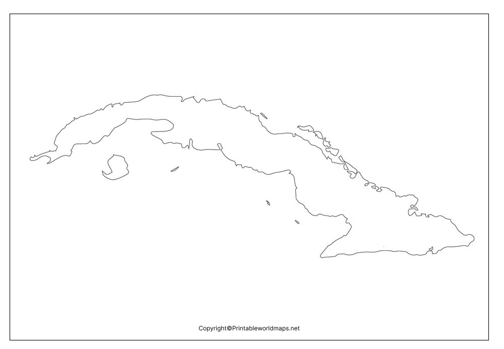
Students can use a printed copy to mark the capital, identify the surrounding sea passages, label neighbouring countries, and add major physical features. Check the specific map before using it for provincial boundaries or roads, because a simple outline may not show every geographic detail.
Printable Map of Cuba
A printable map of Cuba is convenient for classroom handouts, geography revision, and independent study. Download the image for digital use or print the PDF when you need a paper worksheet.
For clearer results, select a suitable paper size in your printer settings and use the fit-to-page option if necessary. If the map contains labels or fine boundaries, choose a print quality that keeps those details legible.
Transparent PNG Cuba Map
A transparent PNG Cuba map can be useful for presentations, digital worksheets, educational posters, and geography projects. PNG files can support transparent backgrounds, but the transparency and included map details depend on the individual file.
You can place a transparent map image over a coloured background or incorporate it into a presentation. Check the downloaded PNG to confirm that its background is transparent before using it in a design project.
Map of Cuba for Practice Worksheet
The map of Cuba practice worksheet can help learners revise geographic locations and develop map-reading skills. Use a blank outline to practise identifying the country’s position in the Caribbean, its capital, nearby islands, surrounding waters, and major landforms.
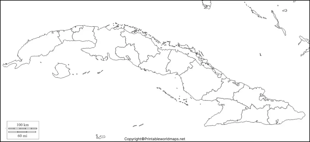
Suggested map practice activities
- Locate Cuba on a world map and identify the Caribbean Sea.
- Mark Havana, the capital of Cuba.
- Label the Atlantic Ocean, the Gulf of Mexico, and the Caribbean Sea in relation to Cuba.
- Identify the Straits of Florida and the Windward Passage.
- Mark Pico Turquino, Cuba’s highest point, on a suitable physical map.
- Compare Cuba’s main island with nearby islands such as Jamaica and Hispaniola.
- Add a compass direction indicator and a map title to complete your worksheet.
These activities can be adapted for different school grades. Use a labelled reference map to check answers after completing the blank worksheet.
Geography of Cuba: Location, Area and Landscape
Cuba lies in the Caribbean region, south of the United States and east of Mexico. Its main island stretches from west to east and is surrounded by smaller islands, islets, and cays. Its position between the Gulf of Mexico, the Atlantic Ocean, and the Caribbean Sea makes it an important geographic feature of the Greater Antilles.
According to the United Nations Statistics Division, Cuba has a surface area of approximately 109,884 square kilometres. Published area figures can differ slightly between sources because of differences in geographic definitions and measurement methods.
The country’s landscape includes extensive plains, rolling terrain, coastal areas, and mountain ranges. The Sierra Maestra range lies in southeastern Cuba and contains Pico Turquino, the country’s highest point, at approximately 1,974 metres above sea level.
A blank map is useful for studying the country’s overall shape, while a physical map is better for identifying elevation, mountains, and terrain.
Cuba’s surrounding waters and neighbouring islands
Cuba is surrounded by several important bodies of water and island groups:
- North: The Straits of Florida separate Cuba from the Florida region of the United States.
- Northwest: The Gulf of Mexico lies beyond Cuba’s western and northwestern approaches.
- South: The Caribbean Sea lies along Cuba’s southern coast.
- East: The Windward Passage separates eastern Cuba from Hispaniola, the island shared by Haiti and the Dominican Republic.
- Northeast: The Bahamas lie north and northeast of Cuba.
These features are useful for map-labeling exercises. Remember that Cuba does not share a conventional land border with neighbouring countries; its international boundaries are maritime, apart from the special boundary associated with the United States Naval Base at Guantánamo Bay.
Important Facts About Cuba
Use these verified geographic facts to add context to your blank map activity:
- Capital city: Havana.
- Official language: Spanish.
- Region: Caribbean.
- Surface area: Approximately 109,884 square kilometres, according to UN statistics.
- Highest point: Pico Turquino, approximately 1,974 metres.
- Major mountain range: Sierra Maestra.
- Geographic grouping: Greater Antilles.
- Country type: Island country and archipelago.
For current population figures, consult a dated official or international statistical source. Population estimates vary by reference year and methodology, so an undated figure should not be presented as the current population.
How to Use a Blank Map of Cuba
A blank map of Cuba can support several types of learning activities.
For students: Practise identifying Cuba, its capital, nearby islands, surrounding waters, and major physical features.
For teachers: Use the printable outline for quizzes, classroom assignments, and group map-labeling exercises.
For geography enthusiasts: Compare the outline with political and physical maps to understand how coastlines, administrative boundaries, and landforms are represented.
For presentations: Use the transparent PNG if its background and resolution meet your design requirements.
For accurate results, compare your completed worksheet with a reliable reference map. Do not assume that every blank outline includes provincial boundaries, transportation routes, airports, or elevation data.
Frequently Asked Questions About the Blank Map of Cuba
1. Where can I download a blank map of Cuba?
You can download the Cuba outline map in PNG format or use the linked PDF version for printing. The outline is suitable for educational activities and map-labeling practice.
2. Can I print the Cuba map for school projects?
Yes. The linked printable map and worksheet can be used for school projects, classroom exercises, and personal geography study. Check the file’s print quality and any applicable usage terms before distributing copies.
3. Is a transparent PNG map of Cuba available?
Yes. This page provides a transparent PNG map file. Open the image and verify that it has a transparent background before adding it to a presentation or design.
4. What is the capital of Cuba?
Havana is the capital of Cuba. You can mark its location on a suitable map that shows cities or use a reference map to position it on a blank outline.
5. What is the total area of Cuba?
The United Nations Statistics Division lists Cuba’s surface area as approximately 109,884 square kilometres. Other references may report slightly different figures because of differences in measurement or geographic definitions.
6. Which bodies of water surround Cuba?
Cuba is situated between the Gulf of Mexico, the Atlantic Ocean, and the Caribbean Sea. The Straits of Florida and the Windward Passage are also important nearby waterways.
7. What is the highest mountain in Cuba?
Pico Turquino, in the Sierra Maestra mountain range, is Cuba’s highest point at approximately 1,974 metres above sea level.
8. What is the difference between a blank map and a labelled map of Cuba?
A blank map leaves some geographic information unlabeled so learners can fill it in. A labelled map identifies selected features, such as cities, provinces, or surrounding waters. A physical map focuses on landforms and elevation.
9. Can I use the Cuba map for digital presentations?
The PNG file may be suitable for presentations and digital worksheets. Confirm its resolution, background transparency, and permitted usage before publishing or redistributing it.
10. How can I practise geography with a blank map of Cuba?
Print the outline, label Havana and nearby waterways, identify neighbouring islands, and compare your work with a reliable atlas or reference map. Repeat the activity without looking at the reference to improve recall.
Reference links
https://data.un.org/en/iso/CU.html
https://salb.un.org/en/data/cub
https://theworldfactbook.org/country/cuba.html
https://www.britannica.com/place/Cuba
https://unctadstat.unctad.org/CountryProfile/GeneralProfile/en-GB/192/index.html
https://printableworldmaps.net/wp-content/uploads/2023/07/Cuba-Blank-Map-Outline.png
https://printableworldmaps.net/wp-content/uploads/2025/05/Cuba-Blank-Map-Outline.pdf
https://printableworldmaps.net/wp-content/uploads/2023/07/Printable-Map-of-Cuba.png
https://printableworldmaps.net/wp-content/uploads/2025/05/Printable-Map-of-Cuba.pdf
https://printableworldmaps.net/wp-content/uploads/2023/07/Transparent-PNG-Cuba-Map-2-1024×485.png
https://printableworldmaps.net/wp-content/uploads/2025/05/Transparent-PNG-Cuba-Map.pdf
https://printableworldmaps.net/wp-content/uploads/2023/07/Map-of-Cuba-for-Practice-Worksheet.png
https://printableworldmaps.net/wp-content/uploads/2025/05/Map-of-Cuba-for-Practice-Worksheet.pdf


1 thought on “Printable Blank Map of Cuba- Outline, Transparent, PNG Map”