
Blank Map of Antarctica is a useful educational resource for students, teachers, researchers, and anyone studying the geography of Earth’s southernmost continent. Printable outline maps can help with geography assignments, labeling exercises, classroom activities, presentations, and map-drawing practice.
Antarctica surrounds the South Pole and is almost entirely covered by the Antarctic ice sheet. It is surrounded by the Southern Ocean and is separated from South America, Africa, Australia, and New Zealand by large stretches of ocean.
Blank Map of Antarctica – Outline
A Blank Map of Antarctica shows the continent’s general outline without adding extensive geographic labels. It can be particularly useful for students who need to identify or label geographic features independently.
Antarctica covers approximately 14 million square kilometers, although its ice-covered extent changes seasonally. The continent is the fifth-largest continent by area, after Asia, Africa, North America, and South America.
The Antarctic continent is surrounded by the Southern Ocean. The nearest major landmasses include South America, Africa, Australia, and New Zealand, but none is directly connected to Antarctica.
Antarctica Geography Facts
- Continent: Antarctica
- Location: Southern Hemisphere
- South Pole: Located on Antarctica
- Approximate area: 14 million km²
- Highest point: Vinson Massif, approximately 4,892 m
- Largest ice sheet: Antarctic Ice Sheet
- Surrounding ocean: Southern Ocean
- Permanent civilian cities: None
- Permanent civilian population: None
- Main human activity: Scientific research
- Climate: Extremely cold and dry, with conditions varying considerably across the continent
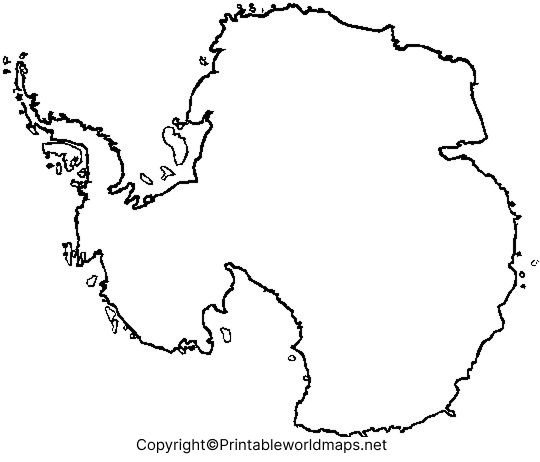
A blank outline is particularly useful when students need to practice drawing the Antarctic coastline, identifying the South Pole, or adding important geographic features.
Printable Map of Antarctica
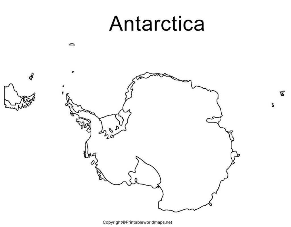
A Printable Map of Antarctica can be used for classroom assignments, geography projects, homeschool activities, presentations, and independent study.
Students can print the map and add labels for important features such as the South Pole, Antarctic Peninsula, Ross Sea, Weddell Sea, Ross Ice Shelf, and major research stations.
How to Use a Printable Antarctica Map
- Download the PNG or PDF map.
- Print it on standard paper.
- Label major geographic features.
- Mark the South Pole.
- Use different symbols or colors for physical features.
- Compare the completed worksheet with a labeled reference map.
This makes the map useful for both learning and assessment.
Transparent PNG Antarctica Map
A Transparent Antarctica PNG Map is useful when the map needs to be placed over another background, presentation, worksheet, infographic, or educational design.
The transparent format can also make it easier to add labels, colors, arrows, and geographic information using image-editing or presentation software.
PNG vs PDF for Antarctica Maps
PNG is convenient for digital projects, presentations, websites, and image editing. PDF is generally preferable when you want a printable document that maintains its layout when printed.
Blank Map of Antarctica for Practice Worksheet
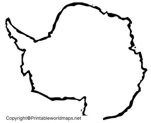
A Blank Map of Antarctica for Practice Worksheet gives students a simple way to test their geographic knowledge without relying on pre-labeled maps.
What Students Can Label
Depending on the level of the exercise, students can practice identifying:
- South Pole
- Antarctic Peninsula
- Ross Sea
- Weddell Sea
- Ross Ice Shelf
- Filchner-Ronne Ice Shelf
- Transantarctic Mountains
- Vinson Massif
- Southern Ocean
- Major research-station locations
Teachers can use the blank version as a classroom worksheet, homework activity, quiz, or geography revision exercise.
Antarctica Map for Students and Teachers
A blank Antarctica map can support several types of learning activities.
For students: Use it to practice labeling, map reading, continent recognition, and physical geography.
For teachers: Use the printable map to create worksheets, quizzes, classroom exercises, and geography assignments.
For researchers: An outline map can provide a simple geographic base for adding research locations, field sites, scientific stations, or other information.
For presentations: A transparent PNG can be incorporated into educational slides, diagrams, and infographics.
Interesting Facts About Antarctica
Antarctica has several geographic characteristics that make it different from every other continent.
- Antarctica is the southernmost continent.
- The South Pole is located on the continent.
- Most of Antarctica is covered by a thick ice sheet.
- Antarctica is generally considered the coldest, driest, and windiest continent.
- Antarctica has no permanent civilian cities or towns.
- Scientists from many countries operate research stations across the continent.
- The Antarctic ice sheet contains the vast majority of the world’s land ice.
- Antarctica’s ice and surrounding ocean play an important role in the global climate system.
- The continent is governed through the international Antarctic Treaty System, rather than being owned by a single country.
Why Use a Blank Map of Antarctica?
A blank map is more than a printable picture. It can be used as an active learning tool.
Students can use it to:
- Practice geography and map skills
- Identify major physical features
- Learn the location of the South Pole
- Complete labeling exercises
- Prepare for geography tests
- Create school projects
- Build classroom worksheets
- Add research locations and annotations
Teachers can also combine the blank map with a labeled reference map so students can check their answers after completing an exercise.
Antarctica Map FAQs
What is a Blank Map of Antarctica?
A Blank Map of Antarctica is an outline map showing the general shape of the Antarctic continent without extensive geographic labels. It can be used for study, labeling, drawing, and educational activities.
Can I print a Blank Map of Antarctica?
Yes. The printable Antarctica maps provided on this page can be used for educational and map-practice purposes. PDF versions are particularly convenient for printing.
Where is Antarctica located?
Antarctica is located around the South Pole in the Southern Hemisphere. It is surrounded by the Southern Ocean.
Is Antarctica a country?
No. Antarctica is a continent and does not belong to a single sovereign country. Its governance and international cooperation are primarily managed through the Antarctic Treaty System.
Does anyone permanently live in Antarctica?
Antarctica has no permanent civilian population. Researchers and support personnel live there temporarily at scientific research stations.
What is the largest mountain in Antarctica?
Vinson Massif is the highest mountain in Antarctica, reaching approximately 4,892 meters (16,050 feet) above sea level.
Why is Antarctica important?
Antarctica is important for scientific research, climate studies, ocean systems, ice-sheet research, and understanding changes in the global environment.
What is the difference between a PNG and PDF map?
A PNG is an image format that works well for digital projects and editing. A PDF is generally more suitable for printing and maintaining document layout.
Who can use a Blank Map of Antarctica?
Students, teachers, researchers, homeschoolers, geography enthusiasts, and designers can use blank Antarctica maps for educational and presentation purposes.
Reference link
https://earthobservatory.nasa.gov/world-of-change/antarctica









