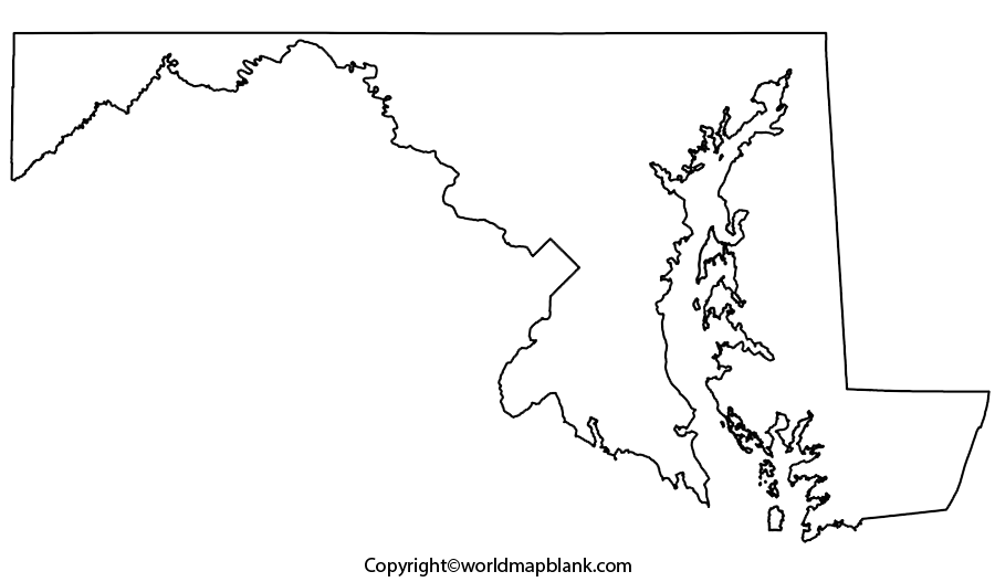
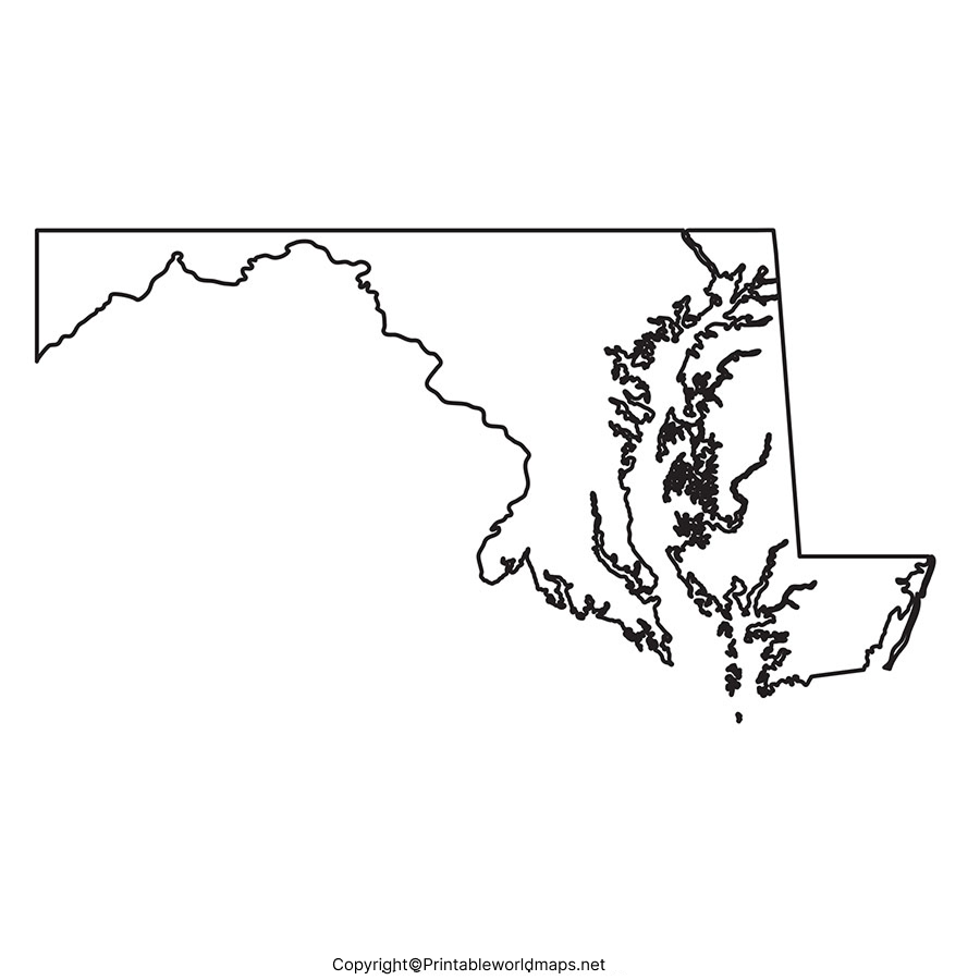
Blank Map of Maryland is a source of learning as well as drawing to get an idea as to how to learn and draw the outer geographical structure of Maryland state, in the US. The blank map of Maryland is also widely referred to by all the teachers of educational institutions to teach the geography of this state.
Contents
Blank Map of Maryland – Outline
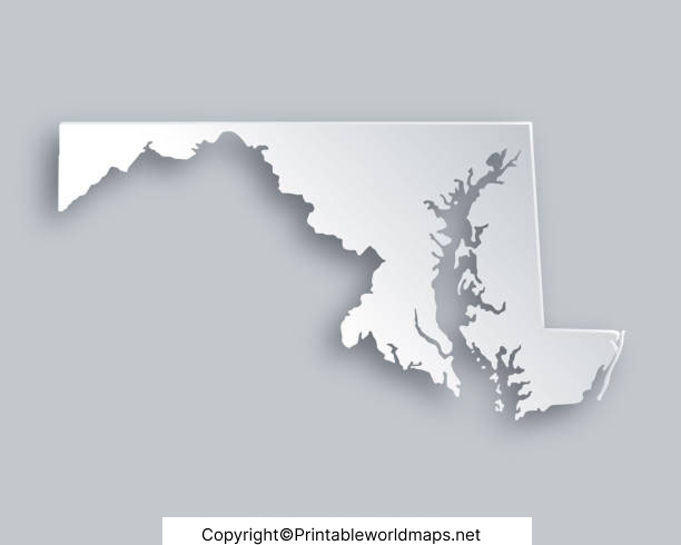
A blank map of Maryland outline in the US is the key source for anyone who is beginning to learn to draw a full-fledged map of the US state of Maryland. One among the fifty US states, Maryland is situated in Mid- Atlantic region, in the northeast of the US. The land area occupied by Maryland is 12,406 square miles or 32,131 square kilometers and is ranked forty-second out of the fifty US states.

When compared, the area of Maryland is about the size of Belgium. This state is bounded to the north through the Mason-Dixon line that forms the border with the state of Pennsylvania. In the west, the Maryland state surrounds a good portion of Washington D.C. For any beginner it will not be an easy task to draw the complete map of Maryland at the very first go.

Hence, a beginner or a scholar has to use this blank outlined map of Maryland as the guiding tool. All that he or she has to is to follow up the outline drawn on this blank map. By doing so, the user will finally end up in drawing the most accurate map of Maryland.
Printable Map of Maryland
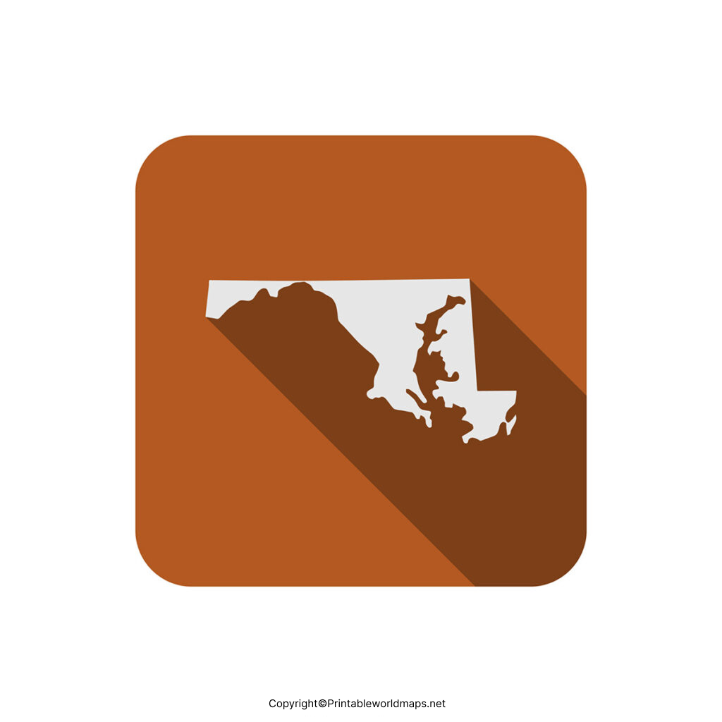
If the user has no time to draw the map of Maryland on his or her own, then it is better for the user to quickly search the web and gain access to printable map of Maryland without any hassles. This printable map of Maryland format is readily available for all the users in a single click. This map saves precious time and effort of the user as he need not draw it manually or buy one from the local market.

Transparent PNG Blank Map of Maryland
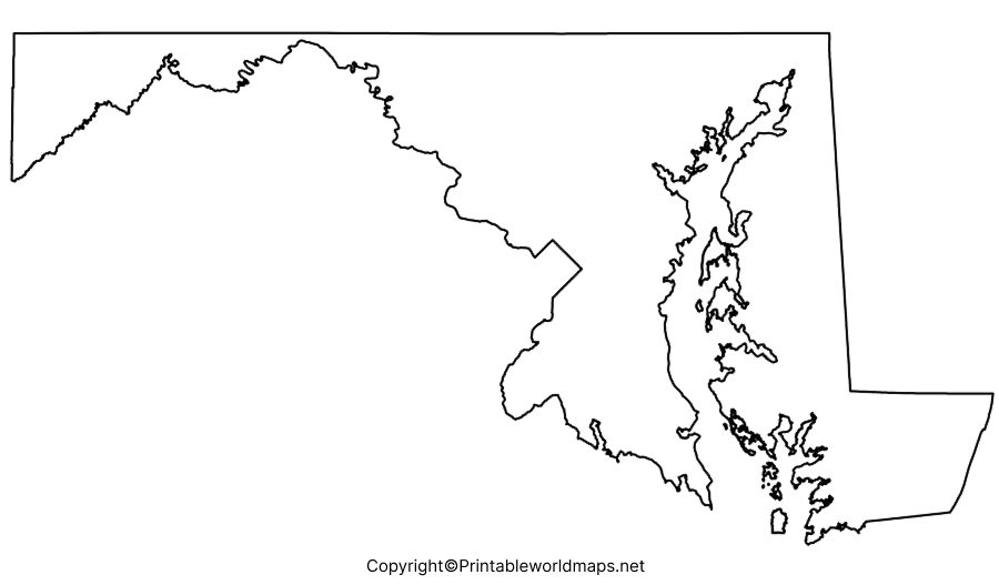
If the user is engaged in a research project for learning the geography of Maryland in a detailed manner, then it is essential for him or her to check out the availability of a transparent PNG Maryland map format from online resources. From the transparent PNG Maryland map, it is possible for the user to visualize all the minute details of the geography of Maryland in utmost clarity. Further, the transparent PNG Maryland Map is found to significantly help in the research work of geography for explorers who want to find all the demographic details of the state of Maryland.

Maryland Map worksheet
The most efficient way to make a student understand the map of the geography of Maryland and places is to use a Maryland map worksheet. The user can download the worksheet covering all the aspects of Maryland state and its geographical details in the form of questions for practicing and answering questions within a time schedule.

