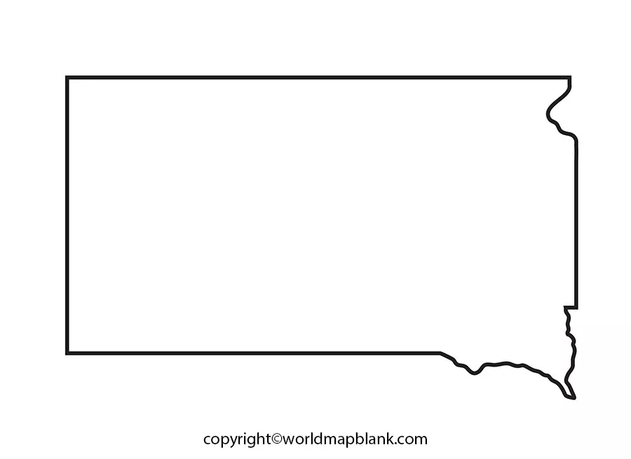
A Blank Map of South Dakota enables viewers to study the map and collect all the relevant information associated with its geographic features. The map can be printed not only from the web, which can be used for project study purposes, but also for documentation of demographic information needed for the completion of a project. In the Great Plains region of the US mainland, South Dakota is identified as a landlocked Midwestern state, in the US.
Contents
Blank Map of South Dakota – Outline
In the north, South Dakota has borders with North Dakota, in the south, it has borders with Nebraska, and in the east with Minnesota. In the southwest, South Dakota has borders with Iowa, and in the west, with Montana and Wyoming. South Dakota state covers an area of 77,116 square miles or 199,730 square kilometers; when compared its area is about twice as large as South Korea or Iceland. With other US states, the area of South Dakota is almost nine times larger than that of New Jersey.
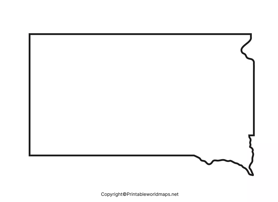
A Blank map of the South Dakota outline version can be adopted by the user as a reference guide to drawing the actual map consisting of the outer boundary structure without any errors. Further, it is also possible to identify and mark all other details, such as the location of major cities, counties, rivers, roads, and other important geographical features.
Printable Map of South Dakota
Getting a printable map of South Dakota is easy nowadays by using the internet. With a single click of the mouse, it can be printed by using a home printer. Such a printable map is completely capable of replacing the textbook map. With an objective of personalized as well as an effective learning strategy, the user can adapt this printable map of South Dakota. This map will provide the user with accurate and complete information that is relevant to his or her geographic studies related to the state.
Transparent PNG Blank Map of South Dakota
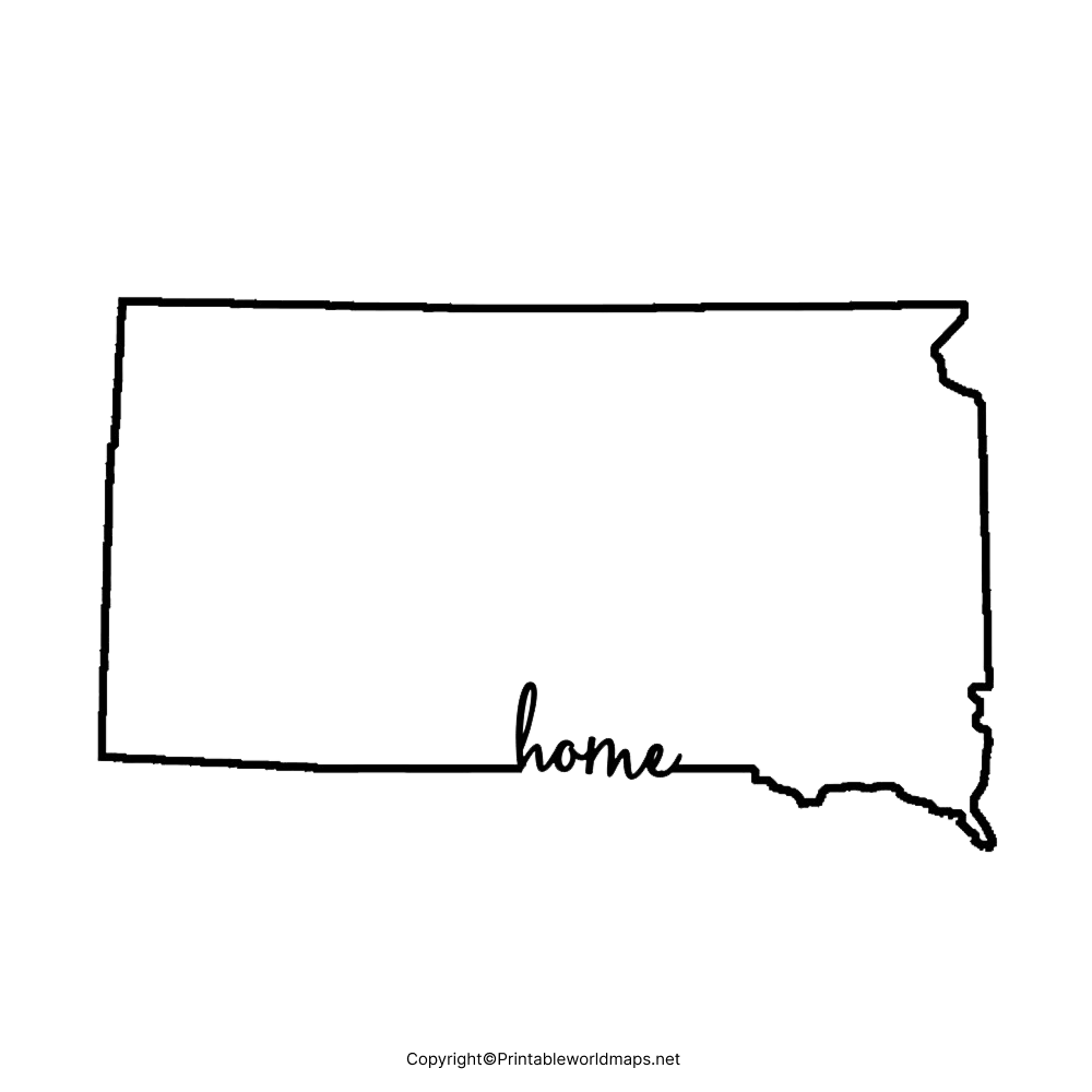
In order to help users to explore and visualize the details of the geography of South Dakota State in a transparent view, it is suggested for them to use a transparent PNG map version of South Dakota. From this, it is possible for the users to achieve maximum knowledge about this state and demographic details. Further, learners can easily explore all the objects related to the history of the state with other details in a transparent way. Scholars and other explorers can find this PNG map of South Dakota highly useful to learn and assimilate information related to the geography of the state.
Blank South Dakota Map worksheet
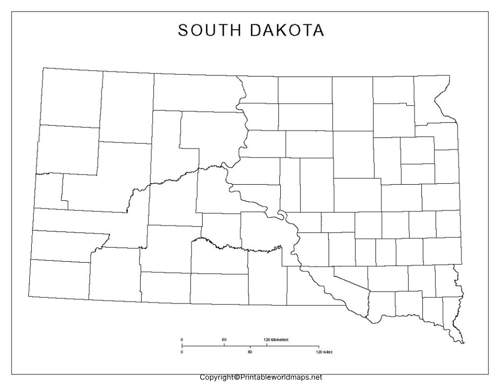
By referring to a South Dakota map worksheet, students and researchers will find that it is the most efficient method of acquiring knowledge about the geography of the state. They can download this document that consists of several pages as it covers all the aspects of the US state, South Dakota, in the form of questions with multiple choice answers. Students can practice answering these questions within a given time frame to enable them to prepare for any examination.

