

A blank map of Andorra is a useful resource for students, teachers, geography enthusiasts, and anyone learning about this small European country. Use these outline, printable, transparent PNG, and practice worksheet maps to study Andorra’s location, identify its borders, and practise labeling geographical features.
Andorra, officially the Principality of Andorra, is a landlocked country in southwestern Europe, situated in the eastern Pyrenees between France and Spain. Its capital is Andorra la Vella, and Catalan is the official language. The country covers approximately 468 square kilometres and is known for its mountainous landscape, valleys, and winter tourism.
A blank outline map can help learners understand Andorra’s location in Europe and explore its geographical features. Below, you can find different map formats for printing, classroom activities, and geography practice.
Blank Map of Andorra
A blank map of Andorra provides an outline of the country’s territory without requiring learners to rely on a fully labeled map. It is useful for practising map drawing, identifying the country’s shape, and understanding its location between France and Spain.
How to use the blank outline map:
- Trace the country’s outline to practise drawing its shape.
- Label France and Spain on the surrounding sides of the country.
- Mark Andorra la Vella, the capital city, using a reference map.
- Use the outline for geography assignments, quizzes, and classroom activities.
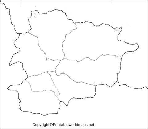
Printable Map of Andorra
A printable map of Andorra is suitable for school projects, geography lessons, revision activities, and personal study. Printing a blank map allows students to add labels, mark important locations, and test their understanding without looking at a completed map.
For best results, select a paper size that preserves the map’s proportions. Use a clear print setting so that the country outline remains visible. If the map is intended for a worksheet, leave sufficient space for students to write labels and notes.

Transparent PNG Andorra Map
A transparent PNG map of Andorra can be useful for presentations, educational graphics, digital worksheets, and geography projects. Unlike an image with a solid background, a genuinely transparent PNG can be placed over different background colours or designs.
Transparency depends on the actual image file, so check the downloaded image before using it in a presentation or design project. A transparent map is particularly useful when you want to combine an outline with labels, colours, or other educational elements.
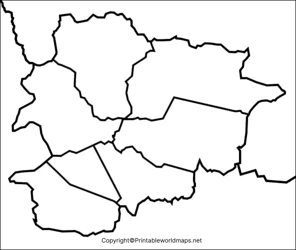
Map of Andorra Practice Worksheet
A map of Andorra practice worksheet helps students reinforce geographical knowledge through hands-on activities. Teachers and parents can use the worksheet for classroom lessons, homework, revision, or independent learning.
Geography Facts to Know Before Using the Map
Learning a few basic facts makes a blank map more useful for geography practice.
- Official name: Principality of Andorra.
- Capital: Andorra la Vella.
- Location: Eastern Pyrenees, between France and Spain.
- Area: Approximately 468 square kilometres.
- Official language: Catalan.
- Currency: Euro.
- Administrative divisions: Seven parishes.
- Landscape: Predominantly mountainous, with valleys, rivers, and forested areas.
These facts can help students label a map, prepare a school project, or create a short geography quiz. For additional details, consult official Andorran tourism information and other authoritative geographical references.
Why Use a Blank Map of Andorra?
A blank map is more than a printable outline. It gives learners an opportunity to recall information, practise spatial awareness, and understand geographical relationships.
For students: Use it for homework, examinations, revision, and country-location exercises.
For teachers: Add labeling questions, map-reading tasks, and short classroom quizzes.
For geography enthusiasts: Use it to explore Andorra’s location in the Pyrenees and compare it with neighbouring regions.
For digital projects: Use a suitable PNG file in presentations or educational materials, while checking the image’s transparency and usage permissions before publication.
Frequently Asked Questions About the Blank Map of Andorra
1. Where can I download a blank map of Andorra?
You can download the outline map, printable map, transparent PNG map, and practice worksheet from the links provided in the sections above. Choose PNG for image-based projects or PDF for convenient printing.
2. Can I print the blank map of Andorra for schoolwork?
Yes. The provided printable map and worksheet are intended for educational and geography practice. Check the file before printing to ensure the outline is clear and correctly scaled.
3. What is the capital of Andorra?
The capital of Andorra is Andorra la Vella. Students can mark its location on an outline map using a reliable reference map.
4. Which countries border Andorra?
Andorra shares land borders with France and Spain. It is located in the eastern Pyrenees in southwestern Europe.
5. What is the official language of Andorra?
Catalan is the official language of Andorra. Spanish, French, and Portuguese are also widely spoken.
6. What is the difference between a PNG map and a PDF map?
PNG is an image format suitable for digital documents, presentations, and graphics. PDF is a document format that is convenient for printing and sharing. A PNG file is not necessarily transparent; transparency depends on the image itself.
7. How can students practise geography with an Andorra map?
Students can label the capital, identify neighbouring countries, trace the outline, and compare their answers with an atlas or a reliable reference map.
Conclusion
The blank map of Andorra collection provides useful options for printing, geography lessons, digital projects, and map-labeling exercises. Select the outline, PNG, PDF, or practice worksheet that best suits your needs. For accurate geographical information, combine these maps with a trusted atlas or official reference source.
Reference links
https://visitandorra.com/en/essential-information-about-andorra/
https://www.diplomatie.gouv.fr/fr/information-par-pays/andorre/presentation-d-andorre
https://www.cia.gov/the-world-factbook/countries/andorra/
