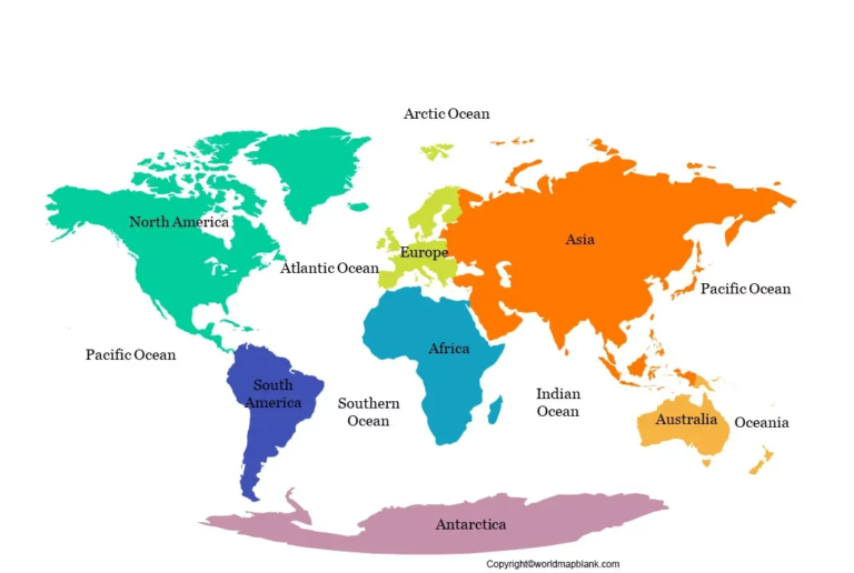
Explore our collection of World Maps to discover countries, continents, oceans, and important geographical features across the globe. Whether you are a student, teacher, parent, traveler, or geography enthusiast, these maps can help you understand the Earth’s geography and identify locations around the world. Use world maps for school assignments, classroom activities, educational projects, travel planning, and independent study.
Our world map collection may include printable political maps, physical maps, blank outline maps, and labeled maps, depending on the available resources. Use them to locate countries, explore international boundaries, identify continents, and learn about major landforms and water bodies. For reliable geographical information, consult resources such as Natural Earth and the United Nations Geospatial Information Section. Check each map’s labels, geographical details, publication date, and usage terms before downloading or using it for educational or research purposes.