Categories
Latest Articles
Join Our Email List
Sign up to receive the latest articles right in your inbox.
email address
*Replace this mock form with your preferred form plugin

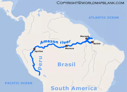
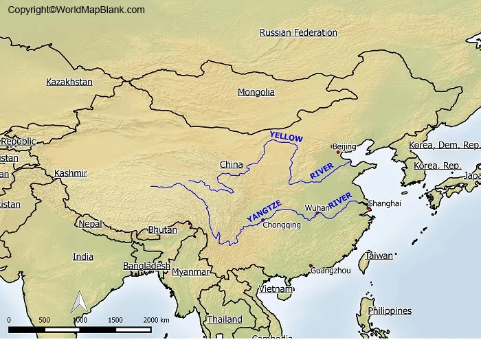
Explore our collection of River Maps to discover major rivers, river systems, and their geographical locations around the world. These maps help students, teachers, and geography enthusiasts understand how rivers flow across different regions, connect with lakes and oceans, and shape the surrounding landscape. Whether you are preparing a school assignment, studying physical geography, or creating classroom activities, river maps provide a useful visual resource for learning about the Earth’s water systems.
Our river map collection may include maps showing major rivers, tributaries, drainage basins, and river networks, depending on the available resources. Use these maps to identify important waterways, compare river systems across continents, and explore the relationship between rivers and human settlements. For reliable geographical information, consult resources such as the United States Geological Survey (USGS) and Natural Earth. Check each map’s labels, geographical coverage, and publication details to ensure it meets your educational or research needs.
Categories
Latest Articles
Join Our Email List
Sign up to receive the latest articles right in your inbox.
email address
*Replace this mock form with your preferred form plugin