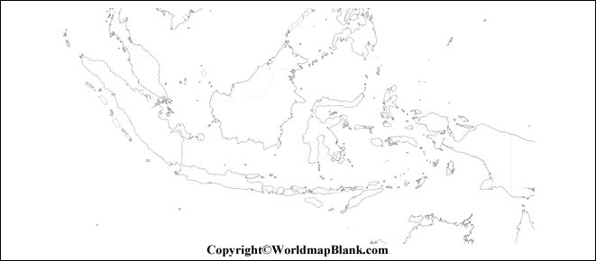
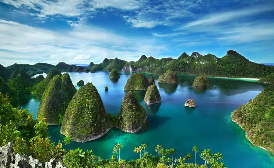
In this post, You can find a Printable Blank Map of Indonesia an Outline, Transparent, PNG Map.
The Map of Indonesia is useful for learning and drawing for your study purposes. The map is very useful for beginners to learn to draw a full-fledged map of the country. The biggest island nation in the world, Indonesia is a Southeast Asian nation mostly situated between the Pacific and Indian oceans. It is well-known for its enormous archipelago of islands.
Geography:
Largest Island Country: Indonesia is the world’s largest island country with over 17,500 islands, of which more than 7,000 are uninhabited. (Source: Britannica)
Largest Southeast Asian Nation: It’s also the largest nation in Southeast Asia, boasting an area of 1,904,569 square kilometers. (Source: The World Factbook)
Volcanoes & Biodiversity: Indonesia has over 127 active volcanoes, making it one of the most volcanically active countries globally. It also boasts incredible biodiversity, ranking fifth in the world. (Source: World Wildlife Fund)
Population:
Fourth Most Populous Country: With over 279 million people, Indonesia is the fourth most populous country globally and the most populous Muslim-majority nation. (Source: Wikipedia)
High Urbanization: More than half of the population lives in cities, with Jakarta being the capital and largest city. (Source: Worlddata.info)
Young Population: Indonesia has a relatively young population, with a median age of 29.8 years. (Source: The World Factbook)
Economy:
Largest Economy in Southeast Asia: Indonesia has the largest economy in Southeast Asia, with a GDP of over $1.3 trillion. (Source: Statista)
Natural Resources: The country is rich in natural resources, including oil, gas, coal, tin, copper, and nickel. (Source: The World Factbook)
Growing Tourism: Tourism is a major industry, with over 10 million visitors annually. (Source: World Travel & Tourism Council)
Culture:
Diverse Ethnicities: Indonesia is a diverse nation with over 1,300 ethnic groups and 300 languages. (Source: The World Factbook)
Rich Artistic Traditions: The country boasts a rich tradition of art, music, dance, and literature. (Source: Tourism Indonesia)
Religious Harmony: While predominantly Muslim, Indonesia also has significant populations of Christians, Hindus, and Buddhists, showcasing religious tolerance. (Source: Pew Research Center)
Other Printable Blank Maps
Speaking of which, the nation’s population, estimated at 267 million, places it in fourth place among all populations. With a minority of adherents to other religions, Indonesia is the largest Muslim-majority country in the world.
We will offer our visitors and users a variety of blank printable map templates of the nation in this article. With the help of these templates, students can sketch the entire map of Indonesia and learn about its topography.
Indonesia Blank Map Outline
Referring to the Indonesian blank outlined map is the best place to start when learning how to draw the country’s map. This blank national map consists of the country’s outline structure, which makes it simple for anyone to draw a map of the country.
People can easily use the map because it has images that can be used to show any part of the country for their own purposes. Here is a link to a blank Indonesian map form that you can print out.
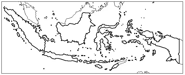
Printable Map of Indonesia
We want our students who are in a hurry to find a good map of Indonesia to have as little work as possible and as much free time as possible. People who use our site can easily print out a map that fits their needs with just one click.
The printable map makes it easy to take this digital map with you instead of a real map from one place to another. It’s also easy to share with other people to talk about the country’s geography.
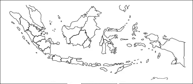
Transparent PNG Indonesia Map
If you want to see a lot of information on the Indonesia map, you should choose a clear map of the country.
This see-through map of Indonesia will show you the whole country’s geography in great detail, so you can even see the smallest features of the land with great clarity.
As an example, if you want to learn about the island of Indonesia, you should look at it in the clear version so that you can read about all of its physical features.
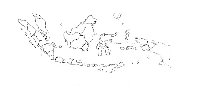
Map of Indonesia for Practice Worksheet
Well, if you want to improve what you already know about Indonesia’s geography, we suggest that you do some worksheets to help you practice.
