
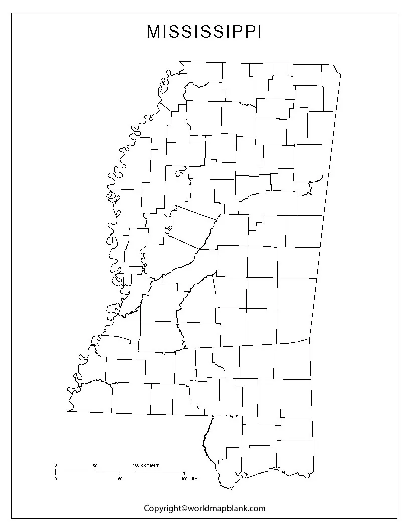
Blank Map of Mississippi resources are useful for students, teachers, homeschoolers, researchers, and anyone who needs a simple geographic reference of Mississippi. The printable maps below include outline, printable, transparent PNG, and practice worksheet formats.
Mississippi is a state in the Southern United States. It borders Tennessee to the north, Alabama to the east, Louisiana and the Gulf of Mexico to the south, and Arkansas and Louisiana across the Mississippi River to the west. Jackson is the state capital.
These blank Mississippi maps can be downloaded, printed, labeled, colored, or used for geography assignments and classroom activities.
Blank Map of Mississippi – Outline
The Blank Map of Mississippi outline provides a simple state shape without unnecessary geographic labels. It is particularly useful when students need to identify locations, practice drawing boundaries, or label geographic features themselves.
The Mississippi state boundary has a distinctive shape, with the Mississippi River forming much of the western boundary. The state also shares borders with Tennessee, Alabama, Louisiana, and Arkansas.
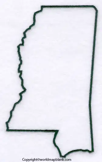
An outline map is useful for:
- State geography practice
- Classroom labeling exercises
- Geography quizzes
- Coloring activities
- School projects
- Creating customized study materials
Students can use the outline to mark the capital, neighboring states, rivers, major cities, or other geographic features.
Printable Map of Mississippi
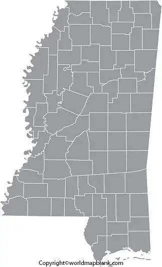
A Printable Map of Mississippi is useful when you need a physical map for classroom work, homework, presentations, or personal study. A printable map can be downloaded and printed on standard paper for easy use.
Printable maps can be particularly helpful when students need to:
- Locate Mississippi within the United States
- Identify neighboring states
- Mark cities and geographic features
- Complete geography assignments
- Prepare for classroom quizzes
- Create school presentations
For best printing results, select actual size or fit to page according to the size of the worksheet and your printer settings.
Transparent PNG Mississippi Map
A Transparent PNG Mississippi Map can be useful for digital projects because the transparent background allows the map outline to be placed over another background or document.
A transparent PNG can be useful for:
- Presentations
- Digital worksheets
- Educational websites
- Geography projects
- Graphic design
- Map labeling activities
Unlike a standard image with a solid background, a transparent PNG can be layered over other visual content when the image itself has transparency.
Blank Map of Mississippi worksheet for Practice
A Blank Map of Mississippi worksheet provides an easy way for students to practice identifying and labeling geographic information.
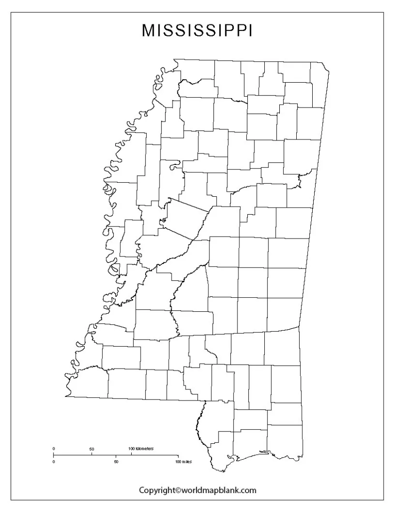
Students can use a blank worksheet to practice:
- Mississippi’s state boundaries
- Neighboring states
- State capital
- Major cities
- Rivers and other geographic features
- County locations
- Basic map-labeling skills
Teachers can also adapt a blank map into quizzes or classroom exercises by asking students to identify selected locations without providing the answers directly on the map.
You might also be interested in a blank map of the United States.
Mississippi Map With Counties
Mississippi has 82 counties, making a county map useful for more detailed geography activities.
A county map can help students and researchers understand how the state is divided administratively. It can also be useful for identifying county locations and comparing different parts of Mississippi.
When using a county map for educational purposes, verify county names and boundaries against authoritative sources such as the U.S. Census Bureau or the Mississippi Department of Archives and History.
Mississippi Geography Facts
Here are some useful facts that can make a Mississippi map activity more informative:
| Fact | Information |
|---|---|
| State | Mississippi |
| Region | Southern United States |
| Capital | Jackson |
| Largest city | Jackson |
| Statehood | December 10, 1817 |
| State abbreviation | MS |
| Number of counties | 82 |
| Western boundary | Mississippi River forms much of the boundary |
| Southern coastline | Gulf of Mexico |
| Neighboring states | Tennessee, Alabama, Louisiana, Arkansas |
Mississippi became the 20th U.S. state on December 10, 1817. The state is named after the Mississippi River, whose name comes from an Indigenous-language term traditionally interpreted as referring to a large or great river.
How to Use a Blank Map of Mississippi
A blank map becomes more useful when students actively work with it rather than simply viewing it.
1. Identify the State Capital
Ask students to locate Jackson, Mississippi’s capital city, and mark it on the map.
2. Label Neighboring States
Use the blank outline to identify Tennessee, Alabama, Louisiana, and Arkansas.
3. Practice Mississippi’s Counties
Use a county map as a reference and label selected counties on the blank map.
4. Mark Major Geographic Features
Students can add rivers, cities, the Gulf Coast, and other geographic features.
5. Create a Geography Quiz
Teachers can remove labels and ask students to identify locations independently.
Blank Map of Mississippi for Students and Teachers
The Blank Map of Mississippi can serve as a flexible educational resource because the same outline can be used for different assignments.
Teachers may use it for classroom worksheets, quizzes, and geography lessons, while students can use it for homework, revision, and projects. Because the map starts without extensive labels, learners can add information themselves and practice geographic identification.
For reliable geographic information, compare educational worksheets with authoritative sources such as the U.S. Census Bureau, Mississippi state government resources, and other official geographic references.
Frequently Asked Questions
What is a Blank Map of Mississippi?
A Blank Map of Mississippi is an unlabeled map showing the state’s general outline. It can be used for labeling, geography practice, classroom activities, and educational projects.
Can I print the Blank Map of Mississippi?
Yes. The printable Mississippi maps and PDF resources on this page can be downloaded and printed for educational or personal use.
How many counties are in Mississippi?
Mississippi has 82 counties.
What is the capital of Mississippi?
Jackson is the capital of Mississippi.
Which states border Mississippi?
Mississippi borders Tennessee, Alabama, Louisiana, and Arkansas. The state also has a coastline along the Gulf of Mexico.
What river forms much of Mississippi’s western boundary?
The Mississippi River forms much of Mississippi’s western boundary.
When did Mississippi become a state?
Mississippi became the 20th state of the United States on December 10, 1817.
What is a transparent Mississippi map used for?
A transparent PNG map can be used in digital presentations, worksheets, educational graphics, and other projects where the map needs to be placed over another background.
Who can use a Mississippi blank map?
Students, teachers, homeschool educators, researchers, designers, and anyone working on a Mississippi geography project can use a blank map.
Reference Links
https://www.census.gov/geographies/reference-files/time-series/geo/gazetteer-files.html
https://www.census.gov/geographies/reference-files/time-series/geo/gazetteer-files.html









