
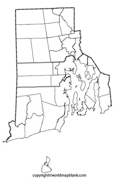
Blank Map of Rhode Island is a useful resource for students, teachers, researchers, homeschoolers, and anyone who needs a printable state outline for geography projects. You can use the maps on this page to study Rhode Island’s shape, location, neighboring states, major cities, and coastal geography.
Rhode Island is the smallest U.S. state by total area and is located in the New England region of the northeastern United States. Despite its small size, the state has a distinctive geography shaped by Narragansett Bay and numerous islands.
The printable maps below are available in formats such as PNG and PDF, making them convenient for classroom assignments, worksheets, presentations, labeling exercises, and personal study.
Blank Map of Rhode Island – Outline
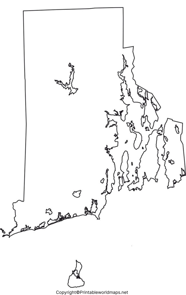
The Blank Map of Rhode Island provides a simple state outline that can be printed and labeled by hand. It is particularly useful for geography exercises where students need to identify locations without relying on pre-labeled maps.
Rhode Island is bordered by Connecticut to the west and north and Massachusetts to the north and east. Its southern boundary meets the Atlantic Ocean. Rhode Island also has a water boundary with New York.
Although its official name is Rhode Island, the state is not itself an island. It includes a mainland area as well as several islands, including Aquidneck Island, Conanicut Island, and Block Island.
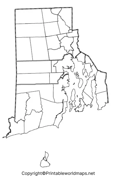
Rhode Island Geography Facts
- Region: New England, Northeastern United States
- Capital: Providence
- Largest city: Providence
- State abbreviation: RI
- Land area: 1,033.89 square miles, according to the 2020 Census
- Total area: About 1,214 square miles
- 2020 Census population: 1,097,379
- 2025 population estimate: 1,114,521
- Highest point: Jerimoth Hill, about 812 feet above sea level
- Nickname: The Ocean State
- Famous geographic feature: Narragansett Bay
The U.S. Census Bureau reports a 2025 population estimate of 1,114,521, while the 2020 Census counted 1,097,379 residents. This replaces older population figures that may appear in previously published versions of this page.
Printable Map of Rhode Island
A Printable Map of Rhode Island can be used for classroom activities, geography lessons, state studies, travel planning, presentations, and educational worksheets.
A printable map is especially useful when students need a physical copy for labeling cities, neighboring states, waterways, islands, or other geographic features.
How to Use a Printable Rhode Island Map
A printable map can be used to:
- Label Providence and other cities.
- Identify Connecticut and Massachusetts.
- Locate Narragansett Bay.
- Mark Rhode Island’s major islands.
- Practice state geography.
- Create classroom presentations.
- Complete geography worksheets.
- Study Rhode Island’s position within New England.
For the best printing results, download the PDF version when you need a clean document for classroom or worksheet use.
Transparent PNG Blank Map of Rhode Island
A Transparent PNG Blank Map of Rhode Island is useful for digital projects because the transparent background makes it easier to place the state outline over another background, presentation, worksheet, or graphic.
Students and teachers can use a transparent map in PowerPoint presentations, educational graphics, digital worksheets, and geography projects.
Rhode Island Map worksheet
The Rhode Island Map Worksheet is designed for students who want to practice identifying and labeling geographic features.
A blank worksheet can be used for assignments in elementary school, middle school, homeschool lessons, geography activities, and state studies.
Rhode Island Map Activities for Students
Teachers can turn a blank map into several simple activities:
- Labeling activity: Mark Providence and other important locations.
- Border activity: Identify Connecticut and Massachusetts.
- Water feature activity: Locate Narragansett Bay and the Atlantic Ocean.
- Island activity: Mark Block Island, Aquidneck Island, and Conanicut Island.
- State study: Add the capital, largest city, state abbreviation, and nickname.
- Map coloring: Use different colors for land, water, and neighboring states.
- Research activity: Ask students to add facts about Rhode Island beside the map.
Rhode Island Location and Borders
Rhode Island is in New England, one of the six regions of the northeastern United States.
Its land borders are:
- Connecticut – west and northwest
- Massachusetts – north and east
The state’s southern edge reaches the Atlantic Ocean. Rhode Island’s geography is strongly influenced by Narragansett Bay, which extends deep into the state.
Rhode Island also has a water boundary with New York. Its combination of mainland, islands, bays, and coastal waters gives the state a distinctive shape that is easy to study with an outline map.
Rhode Island Population and Area
According to the U.S. Census Bureau, Rhode Island had 1,097,379 residents in the 2020 Census and an estimated 1,114,521 residents as of July 1, 2025.
The state’s 2020 land area was 1,033.89 square miles, making Rhode Island the smallest U.S. state by land area.
The Rhode Island government also reports that Providence is both the state capital and largest city by population.
Interesting Facts About Rhode Island
Here are some useful facts that can make a Rhode Island geography lesson more engaging:
- Rhode Island is the smallest U.S. state by area.
- Its official nickname is The Ocean State.
- Providence is the state capital and largest city.
- Narragansett Bay is one of the state’s most important geographic features.
- Rhode Island was one of the original 13 colonies.
- Rhode Island became the last of the original 13 colonies to ratify the U.S. Constitution.
- The state is known for its extensive coastline and many islands.
- Rhode Island Red is the official state bird.
- Coffee milk is the official state drink.
- Cumberlandite is the official state rock.
- Rhode Island’s highest natural point is Jerimoth Hill in Foster.
Why Use a Blank Map of Rhode Island?
A Blank Map of Rhode Island is more than a printable outline. It can be used as an active learning tool.
Instead of simply looking at a labeled map, students can identify geographic features themselves. This helps reinforce location, spatial relationships, state boundaries, and geographic vocabulary.
Blank maps are particularly useful for:
- Geography homework
- Classroom quizzes
- Homeschool activities
- State research projects
- Map-labeling practice
- PowerPoint presentations
- Printable worksheets
- Geography tests
- Teacher-created assignments
- Educational crafts and activities
Rhode Island Map FAQs
Is Rhode Island actually an island?
No. Rhode Island is not entirely an island. The state includes mainland areas and several islands. Its name can be misleading because the state itself is not a single island.
What is the capital of Rhode Island?
Providence is the capital of Rhode Island and also its largest city by population.
What states border Rhode Island?
Rhode Island has land borders with Connecticut and Massachusetts. It also has a water boundary with New York.
What is the smallest state in the United States?
Rhode Island is the smallest U.S. state by area.
What is the population of Rhode Island?
The 2020 Census recorded 1,097,379 people in Rhode Island. The U.S. Census Bureau estimated the population at 1,114,521 on July 1, 2025.
What is Rhode Island’s nickname?
Rhode Island’s official nickname is The Ocean State, reflecting its extensive coastline and coastal geography.
What is Narragansett Bay?
Narragansett Bay is a large estuary that extends into Rhode Island from the Atlantic Ocean. It is one of the state’s defining geographic features.
Can I print the blank Rhode Island map?
Yes. The maps provided on this page include printable PNG and PDF options. The PDF versions are particularly suitable for worksheets and classroom printing.
What can students do with a blank Rhode Island map?
Students can label the capital, cities, neighboring states, Narragansett Bay, islands, and other geographic features. Teachers can also use the map for quizzes and geography assignments.
What is the highest point in Rhode Island?
Jerimoth Hill in Foster is the state’s highest natural point, reaching approximately 812 feet above sea level.
Reference links
- https://www.census.gov/quickfacts/fact/table/RI/HSG860223
- https://www.ri.gov/facts/
- https://www.sos.ri.gov/divisions/civics-and-education/facts-and-figures
- https://risegis.ri.gov/hosting/rest/services/RIDOT/ePermitting/MapServer/5
- https://dem.ri.gov/environmental-protection-bureau/air-resources/climatology/climate-rhode-island









