

A Blank Map of Afghanistan is a useful resource for students, teachers, geography enthusiasts, and anyone who wants to learn about the country’s location, borders, major cities, and physical features. You can use these printable maps for classroom activities, geography assignments, map-labeling exercises, and independent study.
Afghanistan is a landlocked country in Asia, located at the crossroads of Central and South Asia. Its capital and largest city is Kabul. The country shares land borders with Pakistan, Iran, Turkmenistan, Uzbekistan, Tajikistan, and China.
On this page, you can explore an outline map of Afghanistan, printable map images, a transparent PNG map, and a practice worksheet. Choose the format that best suits your learning or printing needs.
Few More Maps:-
Blank Map of Afghanistan – Outline
An outline map of Afghanistan provides a simple representation of the country’s external boundaries. It is useful for practicing map drawing, identifying neighboring countries, and learning the general shape of Afghanistan.
Students can print the outline and label Kabul, neighboring countries, mountain ranges, and other geographical features. Teachers can also use it for classroom quizzes and geography assignments.
Printable Map of Afghanistan
A printable map of Afghanistan is useful for school projects, geography lessons, presentations, and personal study. Print the map to review the country’s shape and location, or use it as a starting point for labeling cities, borders, and physical features.
For the clearest printed results, select the appropriate paper size in your printer settings and use the print preview to check that the entire map fits on the page.
Transparent Afghanistan PNG Map
A transparent PNG map can be helpful when creating presentations, educational posters, worksheets, or digital geography projects. Unlike an image with a solid background, a genuinely transparent PNG allows the background of your document or design to show through wherever the image has transparent pixels.
Use the transparent Afghanistan map to create visual learning materials or combine it with labels and other geographical information. Check the downloaded image to confirm that its background is transparent before using it in a design.
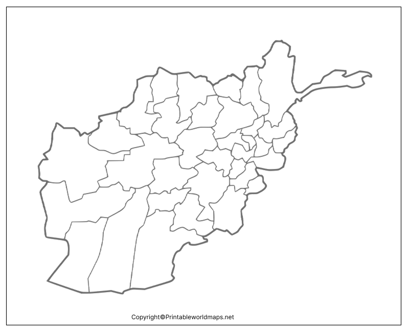
Map of Afghanistan Practice Worksheet
A map practice worksheet helps learners test their knowledge of Afghanistan’s location, borders, and important geographical features. Students can complete the worksheet independently or use it during classroom activities.
For an effective practice session:
- Identify Afghanistan on a map of Asia.
- Label Kabul, the national capital.
- Write the names of the six neighboring countries.
- Locate the Hindu Kush mountain range using a reliable reference map.
- Review your answers and correct any mistakes.
Important Geographical Facts About Afghanistan
Use these facts alongside the blank map to make geography lessons more informative.
- Capital: Kabul.
- Location: Asia, at the crossroads of Central and South Asia.
- Geographical status: Landlocked, with no coastline.
- Neighboring countries: Pakistan, Iran, Turkmenistan, Uzbekistan, Tajikistan, and China.
- Official languages: Dari and Pashto.
- Major physical feature: The Hindu Kush mountain range.
- Landscape: Mountainous terrain, valleys, plateaus, and arid and semi-arid regions.
- Regional significance: Afghanistan occupies a strategic position between Central Asia, South Asia, and West Asia.
How to Use a Blank Map of Afghanistan
A blank map can support several types of learning activities:
- School assignments: Practice identifying the country and its neighboring states.
- Map-labeling exercises: Add the capital, major cities, mountain ranges, and other landmarks.
- Geography quizzes: Test your knowledge before checking a reference map.
- Educational presentations: Add labels and explanations to a map image.
- Digital projects: Use a transparent PNG where the image format supports your design.
- Classroom worksheets: Print the outline for individual or group activities.
For accurate labeling, compare your work with an authoritative political or physical map. An outline map alone may not contain enough detail to identify internal administrative boundaries, elevations, or every geographical feature.
Frequently Asked Questions
1. Where can I download a blank map of Afghanistan?
You can download the outline map and practice worksheet from the PNG and PDF links provided above. Choose the file that best suits your printing or digital learning needs.
2. Is the blank map of Afghanistan available in PDF format?
Yes. PDF versions are linked in the outline map, printable map, transparent map, and worksheet sections. Open the relevant link to access the available file.
3. What is the capital of Afghanistan?
Kabul is the capital and largest city of Afghanistan.
Afghanistan shares land borders with Pakistan, Iran, Turkmenistan, Uzbekistan, Tajikistan, and China.
5. Why is Afghanistan called a landlocked country?
Afghanistan is landlocked because it has no direct coastline on an ocean or sea. It is surrounded by neighboring countries.
6. Which languages are official in Afghanistan?
Dari and Pashto are the official languages of Afghanistan.
7. Can I use a blank Afghanistan map for school assignments?
Yes. A blank map is suitable for educational activities such as labeling neighboring countries, locating the capital, learning physical geography, and preparing classroom presentations. Follow your teacher’s instructions regarding permitted sources and map formats.
8. What is the difference between an outline map and a transparent PNG map?
An outline map emphasizes the country’s outer boundary for labeling and drawing exercises. A transparent PNG is an image file that can have see-through background areas, making it useful for digital designs. The actual details depend on the supplied map file.
Final Thoughts
A Blank Map of Afghanistan is a practical tool for learning about the country’s location, borders, capital, and physical geography. Use the outline map for drawing and labeling, the printable version for classroom activities, and the worksheet to test your knowledge.
Choose the PNG or PDF file that suits your needs, and compare your labels with a reliable geographical reference to make your learning more accurate.
Reference links
https://www.cia.gov/the-world-factbook/countries/afghanistan
