
Printable Blank Map of Serbia templates are ideal for students, teachers, travelers, researchers, and geography enthusiasts who need an accurate outline of Serbia for educational, reference, or personal projects. Serbia, officially known as the Republic of Serbia, is a landlocked country located at the crossroads of Central and Southeast Europe on the Balkan Peninsula. Our high-quality printable maps are available in outline, transparent PNG, and practice worksheet formats, making them perfect for classroom learning, map labeling, presentations, and geographical studies.
Whether you are preparing for an exam, creating educational content, or learning about European countries, this Blank Map of Serbia collection provides printable resources that are easy to download and use.
- World coronavirus map
- World geographical map
- World Map Wallpaper
- World population map
- Accurate map of World
- Ancient World map
Blank Map of Serbia – Outline
A Blank Map of Serbia outline displays only the country’s international boundaries without labels, allowing users to add cities, rivers, mountains, neighboring countries, or administrative divisions according to their learning needs.
Serbia shares borders with:
- Hungary (North)
- Romania (Northeast)
- Bulgaria (East)
- North Macedonia (South)
- Kosovo (South)*
- Montenegro (Southwest)
- Bosnia and Herzegovina (West)
- Croatia (Northwest)
*Kosovo’s status is disputed internationally, and different organizations recognize it differently.
Serbia covers approximately 77,474 square kilometres (29,913 square miles). The capital and largest city is Belgrade, while the official language is Serbian, written primarily in the Cyrillic script (Latin script is also widely used).
The outline map is widely used for:
- Geography classroom activities
- School assignments
- UPSC, SSC, and competitive exam preparation
- Educational presentations
- Map labeling practice
- GIS and cartography projects
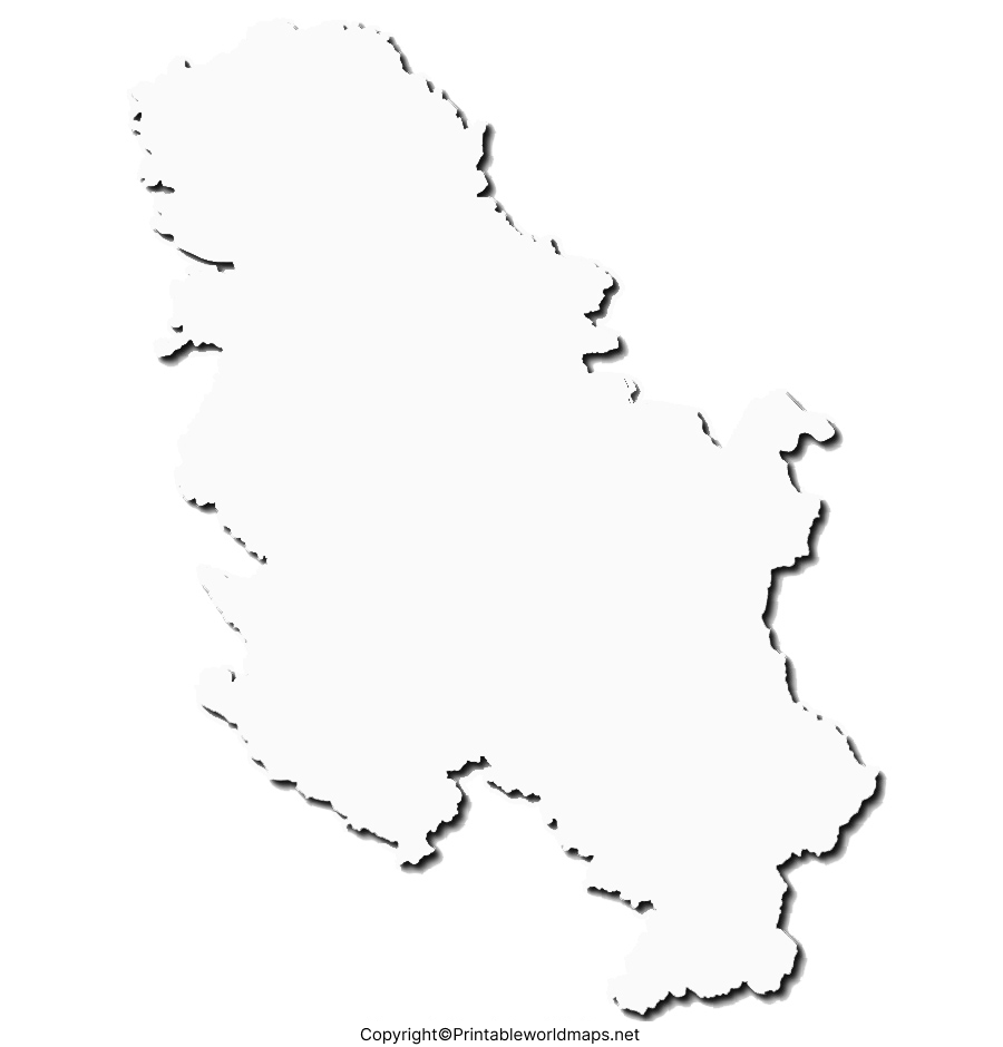
Printable Map of Serbia
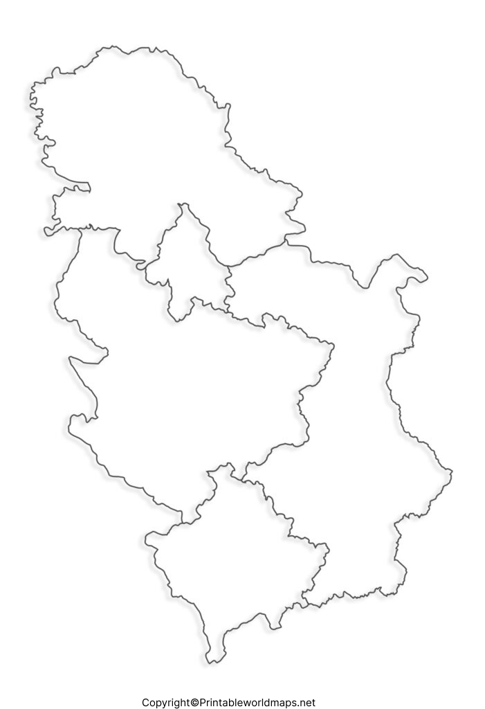
A Printable Blank Map of Serbia is available in high-resolution PDF and image formats that can be printed on A4 or Letter-size paper without losing quality.
These printable maps are useful for:
- Teachers preparing classroom worksheets
- Students practicing political geography
- Travelers planning routes
- Educational institutions
- Homeschool learning
- Quiz competitions
The printable version saves time because users can immediately download, print, and start working without drawing the country manually.
Transparent PNG Serbia Map
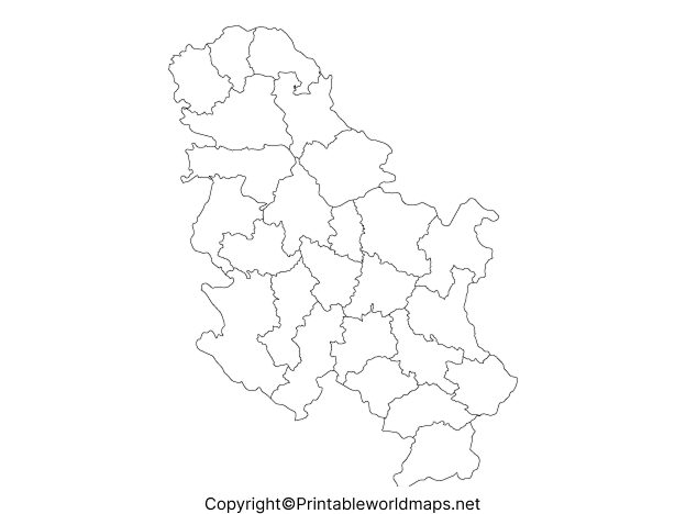
A Transparent PNG Serbia Map comes with a transparent background, making it suitable for digital presentations, websites, infographics, graphic design, and educational videos.
The transparent PNG format is useful because it:
- Supports presentations
- Works well in PowerPoint
- Can be layered over other graphics
- Maintains high image quality
- Has no background color
This format is frequently used by teachers, designers, content creators, and publishers who require clean map graphics.
Blank Map of Serbia for Practice Worksheet
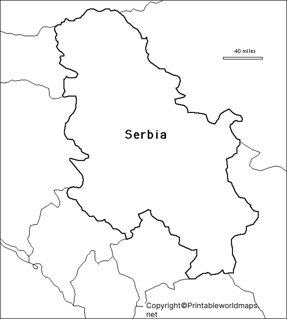
Our Blank Map of Serbia Practice Worksheet helps learners improve their geographical knowledge through repeated practice.
Students can use the worksheet to label:
- Belgrade
- Major rivers
- Neighboring countries
- Provinces
- Mountain ranges
- National parks
- Important cities
Practice worksheets are especially useful for school examinations, geography competitions, and classroom exercises.
Serbia Geography Facts
Learning with a Blank Map of Serbia becomes easier when combined with important geographical facts.
| Fact | Information |
|---|---|
| Official Name | Republic of Serbia |
| Capital | Belgrade |
| Continent | Europe |
| Region | Balkans |
| Area | 77,474 km² |
| Population | Approximately 6.6 million (recent estimate) |
| Official Language | Serbian |
| Currency | Serbian Dinar (RSD) |
| Highest Peak | Midžor (2,169 m) |
| Time Zone | Central European Time (CET) |
Uses of a Blank Map of Serbia
A Blank Map of Serbia can be used for numerous educational and professional purposes.
- Geography learning
- School homework
- University research
- Travel planning
- Political boundary study
- Cartography practice
- Map labeling
- Classroom teaching
- Educational quizzes
- GIS projects
Why Use Our Blank Map of Serbia?
Our downloadable maps are designed to provide:
- High-resolution printable quality
- Accurate international boundaries
- Transparent PNG format
- Easy PDF printing
- Educational worksheet versions
- Free personal and classroom use
- Fast downloads without complicated editing
Every map is carefully designed to ensure accuracy and usability for learners of all ages.
Frequently Asked Questions (FAQs)
What is a Blank Map of Serbia?
A Blank Map of Serbia is an unlabeled outline map that shows only the country’s borders, allowing users to add cities, rivers, neighboring countries, and other geographical features for educational purposes.
Can I print the Blank Map of Serbia?
Yes. All printable maps are designed for high-quality printing on standard A4 and Letter paper.
Is the Transparent PNG Serbia Map suitable for presentations?
Yes. The transparent PNG version is ideal for PowerPoint presentations, websites, educational videos, and graphic design projects.
Who can use these Serbia maps?
Students, teachers, travelers, researchers, content creators, designers, and geography enthusiasts can all benefit from these printable maps.
Are these Serbia outline maps free to download?
Yes. They are available for educational and personal use.
References
For accurate geographic information about Serbia, refer to:









