
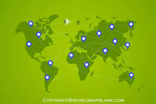
A World Flight Map helps you explore global air routes, understand connections between airports, and visualize how aircraft travel between countries and continents. This page provides printable world flight maps, flight route images, and PDF downloads for students, teachers, travelers, and aviation enthusiasts.
Use these maps as educational references to study international flight paths, compare geographic routes, and learn about global aviation. Please note that a static printable map does not show the live position of an aircraft. For real-time flight information, use a live flight-tracking service.
World Flight Map
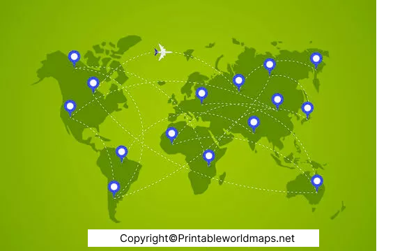
Download the World Flight Map to explore the geographic connections between different regions of the world. You can print the map for classroom activities, travel research, presentations, or personal reference.
How to Use This Map
- Identify countries, continents, and major geographic regions.
- Discuss how international air travel connects different parts of the world.
- Use the map for geography lessons and aviation-related projects.
- Print the map for offline reference and educational presentations.
World Flight Map Route
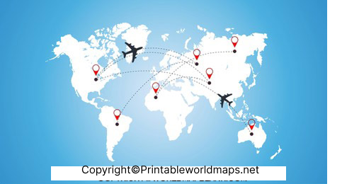
A world flight route map illustrates the geographic paths associated with air travel. Flight routes vary according to departure and arrival airports, airspace restrictions, weather, operational requirements, and air traffic management.
A route displayed on a world map is a useful starting point for understanding aviation geography. However, it should not be interpreted as the exact path every aircraft follows. Actual flight paths can change during a journey.
Why Do Flight Routes Vary?
- Weather: Wind, storms, and other weather conditions can influence routing.
- Airspace restrictions: Aircraft must follow applicable airspace rules and clearances.
- Air traffic management: Controllers and traffic managers may adjust routes to maintain safe and efficient operations.
- Airport operations: Departure procedures, arrival procedures, and runway availability can affect the route.
- Operational efficiency: Airlines consider factors such as fuel consumption, flight time, and operating conditions.
Flight Tracker world map
A flight tracker world map helps users visualize aircraft movements and explore flight information. Unlike a printed route map, an online flight tracker may display aircraft positions and flight details using available surveillance and other aviation data.
The information displayed depends on the tracking provider, aircraft equipment, receiver coverage, and data availability. Coverage and displayed information can vary by region and flight.
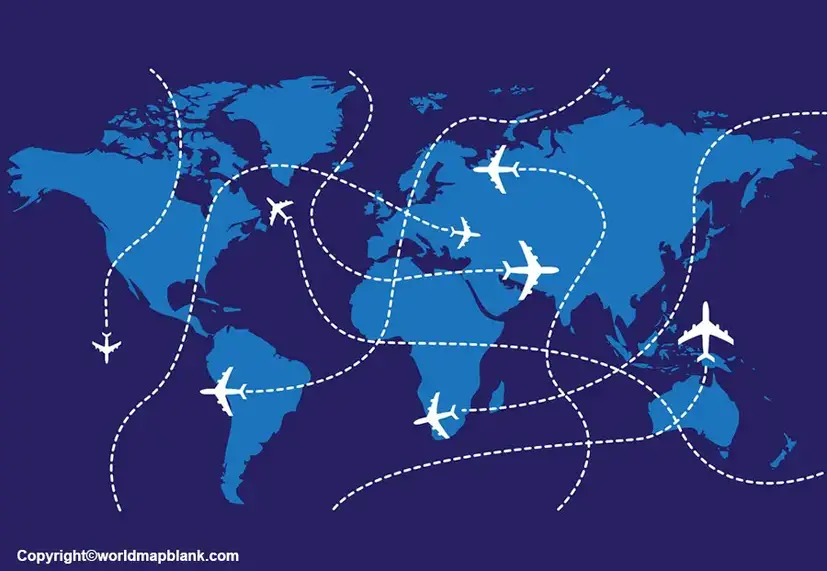
Printable World Flight Maps
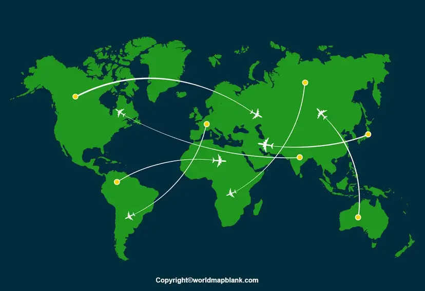
If you need a printable reference for a school project, presentation, or personal aviation study, use the map below.
Before printing, check the PDF preview, page orientation, map labels, and print scaling to make sure the map is readable.

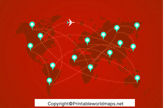
Flight Path world map
A flight path world map helps explain the relationship between geographic locations and aircraft routes. It can be used to compare long-distance journeys, examine connections between continents, and discuss why aircraft do not always follow a straight line on a flat map.
The shortest-looking line on a flat world map is not necessarily the most direct route over the Earth’s surface. Great-circle routes, which follow the shortest path between two points on a sphere, can appear curved when displayed using many common world map projections.
How to Track a Flight in Real Time
A printable map is useful for learning geography, but you need a live tracking service to check an aircraft’s current position.
- Open a flight-tracking website or app.
- Search using the flight number, airline, or departure and arrival airports.
- Review the available flight status, route, and aircraft position information.
- Check the airline or airport’s official website for authoritative travel updates.
One example is Flightradar24’s live flight tracker. Its ADS-B explainer describes how aircraft broadcast position and other flight data that can be received by tracking networks.
Remember that flight-tracking displays may be delayed, incomplete, or unavailable for some aircraft. Always rely on your airline or airport for official departure, arrival, and disruption informatio
Interesting Facts About World Flight Routes
- The Earth is curved: Great-circle routes can look curved on a flat map even when they represent the shortest surface distance between two locations.
- Routes can change: Weather, airspace restrictions, traffic management, and operational needs can lead to route changes.
- Flight tracking depends on data: Aircraft position displays may use ADS-B and other available data sources. Coverage is not identical everywhere.
- A route map is not a live tracker: A printed map illustrates geographic information but cannot independently confirm an aircraft’s current location.
- Map projections affect appearance: Different projections represent the Earth’s curved surface differently, so route shapes and apparent distances can vary.
These facts make a world flight map useful for geography education, travel research, and introductory aviation studies.
How to Get the Best Results From a Printable Flight Map
For a clearer print, open the PDF and review its dimensions before printing. Choose landscape orientation if it better fits the map, select an appropriate paper size, and avoid scaling that makes labels too small to read.
For classroom or research use, add notes identifying departure and arrival cities, compare routes between regions, and distinguish between illustrative routes and verified flight data. If you use a map for a report, record its source and publication or update date when available.
Frequently Asked Questions About World Flight Maps
1. What is a World Flight Map?
A World Flight Map is a map used to visualize air routes, geographic connections, and flight paths between airports or regions. Depending on the source, it may be a static educational map or part of a live flight-tracking service.
2. Can I download a World Flight Map in PDF format?
Yes. This page provides links to printable World Flight Map PDFs and related flight route maps. Open the relevant PDF link to view or save the file.
3. Does a printable World Flight Map show live aircraft positions?
No. A static printable map does not update aircraft positions. To view available live flight information, use an online flight-tracking service.
4. How can I track a flight on a world map?
Open a flight-tracking website, search for a flight number or route, and review the available aircraft position and status information. Confirm travel changes with the airline or airport.
5. Why do flight paths look curved on world maps?
The Earth is approximately spherical, while a printed world map is flat. A great-circle route may therefore appear curved depending on the map projection.
6. Why do aircraft sometimes change their routes?
Routes can change because of weather, airspace restrictions, air traffic management, airport conditions, and operational requirements.
7. Who can use a printable World Flight Map?
Students, teachers, geography enthusiasts, travelers, and people learning about aviation can use printable flight maps for educational activities and general reference. Operational flight planning requires current, approved aviation information.
8. Is a flight tracker the same as a flight route map?
No. A route map shows geographic paths or connections, while a live flight tracker displays available flight information and may show current or recent aircraft positions.
Reference Links
https://www.faa.gov/air_traffic/publications/aim_html/chap4_section_4.html









