
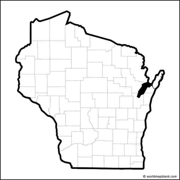

A Blank Map of Wisconsin is a useful resource for students, teachers, researchers, travelers, and anyone who wants to study the geography of Wisconsin. A printable Wisconsin map outline can be used to identify and label counties, cities, rivers, lakes, regions, and other geographic features.
This page provides Blank Map of Wisconsin resources in printable PNG and PDF formats. The outline maps are suitable for classroom activities, geography worksheets, state projects, presentations, and personal study.
Blank Map of Wisconsin Outline
Wisconsin is located in the north-central United States and is part of the Midwest. The state borders Minnesota and Iowa to the west, Illinois to the south, Michigan and Lake Michigan to the east, and Lake Superior to the north.
The Blank Map of Wisconsin shows the state’s overall outline without requiring users to start with a detailed labeled map. Students can use the outline to mark cities, counties, rivers, lakes, geographic regions, and other features as part of a geography exercise.
Wisconsin has a land area of about 54,167 square miles, according to the U.S. Census Bureau’s 2020 estimate. The state had an estimated population of 5,972,787 in July 2025.
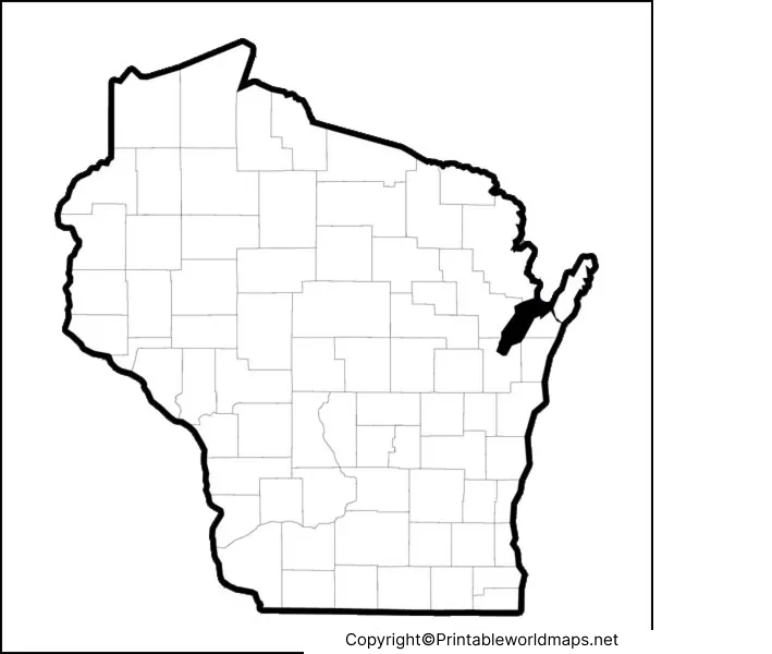
Wisconsin Geography at a Glance
A blank outline becomes more useful when students add geographic information to it. Important facts to locate or discuss include:
- Capital: Madison
- Largest city: Milwaukee
- Major Great Lakes: Lake Superior and Lake Michigan
- Major rivers: Mississippi River, Wisconsin River, and Chippewa River
- Neighboring states: Minnesota, Iowa, Illinois, Michigan
- Region: Midwest / North Central United States
- Land area: About 54,167 square miles
- 2025 estimated population: About 5.97 million
These facts can be used as prompts for labeling activities and geography assignments.
Printable Map of Wisconsin
A Printable Map of Wisconsin can be used when students need a simple visual reference for learning about the state’s location and physical geography.

The printable version is useful for:
- Geography homework
- Classroom worksheets
- State research projects
- Homeschooling activities
- Map-labeling exercises
- Teacher handouts
- Presentations and educational projects
- Coloring and drawing activities
For best printing results, users should select the PDF version when they need a document with consistent page formatting. PNG files are convenient for digital worksheets, presentations, websites, and graphics.
Transparent PNG Blank Map of Wisconsin
A transparent PNG Blank Map of Wisconsin can be useful for digital projects because the map outline can be placed over backgrounds, presentations, worksheets, or other graphics.
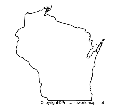
The transparent map can be especially useful when creating a geography presentation or adding labels and geographic information digitally. Students can add locations such as Madison, Milwaukee, Green Bay, the Mississippi River, Lake Michigan, and Lake Superior.
Wisconsin Blank Map Worksheet

A Wisconsin Blank Map Worksheet gives students an opportunity to practice geography rather than simply reading a labeled map.
Teachers can ask students to label:
- Wisconsin’s capital city.
- Milwaukee and other major cities.
- Lake Michigan and Lake Superior.
- The Mississippi River.
- Wisconsin’s neighboring states.
- Major rivers and lakes.
- Selected counties.
- Northern, central, and southern regions of the state.
The worksheet can also be used for quizzes, classroom review, state studies, and independent geography practice.
Wisconsin Map for Students and Teachers
A Blank Map of Wisconsin works particularly well as an active-learning resource. Instead of giving students all the answers, teachers can provide an unlabelled outline and ask learners to complete the map using a textbook, atlas, or reliable online source.
Possible classroom activities include:
- Labeling Wisconsin’s neighboring states.
- Identifying the Great Lakes.
- Marking the state capital.
- Locating major Wisconsin cities.
- Tracing major rivers.
- Identifying counties.
- Comparing northern and southern Wisconsin.
- Adding physical geography features.
- Creating a Wisconsin population or agriculture map.
- Using the outline for a state research project.
Important Wisconsin Geography Facts
Wisconsin has a distinctive geography shaped by forests, rivers, lakes, wetlands, agricultural land, and its location along two Great Lakes.
The Wisconsin Department of Natural Resources reports approximately 17 million acres of forest, covering nearly half of the state. Wisconsin also has extensive freshwater resources, including inland lakes, streams, wetlands, and Great Lakes shoreline.
Wisconsin has more than 800 miles of Great Lakes shoreline along Lake Superior and Lake Michigan, according to the Wisconsin Department of Natural Resources.
These features make a blank outline particularly useful for geography activities involving physical geography and natural resources.
Major Water Features to Label on a Wisconsin Map
When working with a blank Wisconsin outline, students can identify several important water features.
Lake Superior
Lake Superior borders Wisconsin to the north and is one of the Great Lakes. Its shoreline forms an important part of northern Wisconsin’s geography.
Lake Michigan
Lake Michigan borders Wisconsin to the east. Several major Wisconsin communities are located along or near its shoreline.
Mississippi River
The Mississippi River forms much of Wisconsin’s western boundary with Minnesota and Iowa.
Wisconsin River
The Wisconsin River is one of the state’s major rivers and flows through central Wisconsin before reaching the Mississippi River.
PNG vs. PDF: Which Wisconsin Map Should You Use?
Both formats can be useful, but they serve different purposes.
PNG: Best for websites, presentations, digital worksheets, graphic design, and online projects.
PDF: Better for printing, classroom handouts, worksheets, and documents where page formatting needs to remain consistent.
For a classroom assignment that will be printed, the PDF version is generally the more convenient choice. For a PowerPoint presentation, digital worksheet, or graphic project, a transparent PNG may be more flexible.
How to Use a Blank Map of Wisconsin
A simple Wisconsin outline can be turned into several different learning resources.
Step 1: Download the PNG or PDF map.
Step 2: Print the map or open the PNG in an image-editing or presentation program.
Step 3: Add geographic features based on the assignment.
Step 4: Label cities, rivers, lakes, counties, or neighboring states.
Step 5: Compare the completed map with a reliable reference map.
This approach allows students to practice geographic identification and spatial understanding.
Why Use a Blank Wisconsin Map?
A blank map encourages users to actively interact with geographic information. Instead of simply viewing labels, students must remember locations and place information in the correct geographic context.
For teachers, the outline can be reused for quizzes, worksheets, homework, and classroom demonstrations. For students, it can provide a simple starting point for state geography projects.
Frequently Asked Questions About the Blank Map of Wisconsin
What is a Blank Map of Wisconsin?
A Blank Map of Wisconsin is an unlabelled outline map showing the general shape and boundaries of Wisconsin. It can be used for geography study, worksheets, classroom activities, and state projects.
Can I print the Blank Map of Wisconsin?
Yes. The Wisconsin map resources on this page include printable PDF options that can be used for worksheets, classroom activities, and personal study.
Is the Wisconsin map available as a PNG?
Yes. A PNG version is available for digital projects, presentations, worksheets, and graphic-design use.
What can students label on a Wisconsin blank map?
Students can label cities, counties, neighboring states, Lake Michigan, Lake Superior, major rivers, and other geographic features.
What is the capital of Wisconsin?
Madison is the capital of Wisconsin.
What is the largest city in Wisconsin?
Milwaukee is Wisconsin’s largest city by population.
Which Great Lakes border Wisconsin?
Wisconsin borders Lake Superior to the north and Lake Michigan to the east.
How large is Wisconsin?
Wisconsin has approximately 54,167 square miles of land area based on the U.S. Census Bureau’s 2020 land-area figure.
What is the best format for printing a Wisconsin map?
PDF is generally the better choice for printing because it preserves document and page formatting. PNG is often more convenient for digital projects and presentations.
Can a blank Wisconsin map be used for school projects?
Yes. It can be used for map-labeling assignments, state reports, geography quizzes, classroom worksheets, presentations, and other educational projects.
Reference Links
https://www.census.gov/quickfacts/fact/table/WI/LND110220
https://dnr.wisconsin.gov/topic/GreatLakes/Learn.html
https://dnr.wisconsin.gov/about/divisions/Forestry
https://dnr.wisconsin.gov/topic/Forests
https://dnr.wisconsin.gov/maps
https://dnr.wisconsin.gov/maps/GetGISData
More Free Printable Maps for Download
Here is a collection of other maps you can get on our website for free in PDF.
