

A blank map of Morocco is a useful resource for students, teachers, geography enthusiasts, and anyone who wants to study the country’s location, shape, coastline, and surrounding regions. This page provides free map resources in outline, printable, transparent PNG, and PDF formats for educational and reference purposes.
Choose the map that best suits your needs: use an outline map for labeling, a printable map for classroom activities, a transparent PNG for presentations, or a practice worksheet to test your geographical knowledge.
Blank Map of Morocco – Outline
A blank map of Morocco provides a simple outline that learners can use to identify the country’s shape and practise locating important geographical features. Depending on the version, the map may have few or no labels, allowing users to add cities, rivers, mountain ranges, and neighboring countries themselves.
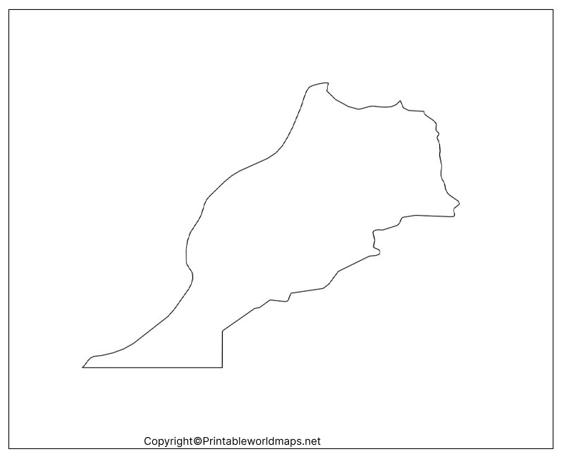
Morocco is located in northwestern Africa. The Atlantic Ocean lies to its west, while the Mediterranean Sea is to the north. Algeria lies to the east. The country’s geography includes coastal plains, plateaus, the Rif and Atlas mountain ranges, and arid landscapes toward the south and southeast.
For classroom activities, students can mark the capital city, Rabat, and other major cities such as Casablanca, Marrakesh, Fez, Tangier, and Agadir. They can also identify the Atlas Mountains and distinguish the Atlantic coast from the Mediterranean coastline.
Printable Map of Morocco
A printable map of Morocco is suitable for school assignments, geography lessons, quizzes, and independent study. You can print the map on paper and use it to practise identifying locations or adding geographical labels.
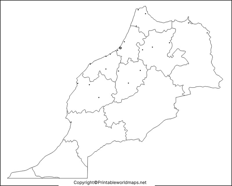
For the best printing results, select the correct paper size, such as A4 or Letter, and choose the fit-to-page setting. Use a high-quality print setting if the map contains fine boundary lines. Check the print preview before printing multiple copies.
Teachers can use the printable map for activities such as locating major cities, marking neighboring countries, identifying mountain ranges, and describing Morocco’s position in Africa. Students can also compare a blank map with a labeled reference map to check their answers.
Transparent PNG Morocco Map
A transparent PNG Morocco map can be useful for presentations, educational worksheets, reports, and digital projects. Unlike a standard image with a solid background, a PNG file may preserve transparent areas, depending on how the image was created.
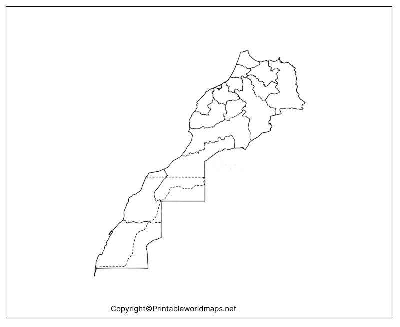
To use the PNG in a presentation, insert it into your preferred editing software and place it over a suitable background. You can add labels, markers, or other educational information around the map.
Before using the image in a commercial publication, check the website’s applicable usage and attribution terms. Also, verify that the file has a genuinely transparent background if transparency is important to your project.
Blank Map of Morocco for Practice Worksheet
A blank map of Morocco practice worksheet helps students test their understanding of the country’s geography. Learners can use the map to label important places, identify physical features, and practise interpreting geographical information.
Suggested activities include:
- Mark Rabat, the capital of Morocco.
- Locate Casablanca, Marrakesh, Fez, Tangier, and Agadir.
- Label the Atlantic Ocean and Mediterranean Sea.
- Identify the Atlas Mountains.
- Mark Algeria to the east of Morocco.
- Describe how Morocco’s coastline influences its geographical position.
- Compare your completed map with a reliable labeled reference map.
These activities can be adapted for different age groups. Younger students can focus on cities and surrounding water bodies, while advanced learners can explore terrain, climate regions, and the relationship between physical geography and settlement patterns.
Morocco Geography Facts for Map Practice
Use these facts to make your map activity more informative:
- Continent: Africa.
- Region: Northwestern Africa.
- Capital: Rabat.
- Largest city: Casablanca is generally recognized as Morocco’s largest city by population.
- Western coastline: Atlantic Ocean.
- Northern coastline: Mediterranean Sea.
- Major mountain systems: Rif Mountains and Atlas Mountains.
- Official languages: Arabic and Amazigh.
- Currency: Moroccan dirham.
Morocco’s varied terrain makes it a useful case study in physical geography. Coastal plains, mountain ranges, fertile areas, plateaus, and arid environments can all be explored through maps and geographical references.
How to Use a Blank Map of Morocco Effectively
Follow these steps to get more value from your map:
- Choose the right format. Use the PNG for digital projects and the PDF for printing.
- Start with the basics. Locate Morocco in Africa and identify its surrounding seas and neighboring areas.
- Add important locations. Mark Rabat and other major cities.
- Study physical geography. Identify the Rif and Atlas mountain ranges and explore the differences between coastal and inland landscapes.
- Check your answers. Compare your completed map with an authoritative reference.
- Repeat the exercise. Try labeling the map from memory to reinforce geographical knowledge.
A blank map is a learning aid rather than a substitute for a fully labeled reference map. For research involving precise boundaries, distances, or coordinates, use an authoritative cartographic source.
Frequently Asked Questions About the Blank Map of Morocco
1. Where can I download a blank map of Morocco?
You can download the outline map and other map versions using the PNG and PDF links provided in this article. Choose the format that best suits your printing or digital-use requirements.
2. Is the printable map of Morocco free?
The linked map files are provided here for access and educational use. Check the website’s current terms for any restrictions on redistribution or commercial use.
3. Can I print the Morocco outline map for school?
Yes. The outline map and practice worksheet can be used for school activities. Check the print preview and select a suitable paper size before printing.
4. What is a transparent PNG Morocco map used for?
A transparent PNG can be placed into presentations, reports, and worksheets without necessarily displaying a solid background. Confirm that the specific file preserves transparency before using it.
5. What is the capital of Morocco?
Rabat is the capital of Morocco. Students can mark it on the blank map and compare its location with other major cities.
6. Which bodies of water surround Morocco?
The Atlantic Ocean lies to the west, and the Mediterranean Sea lies to the north. Both are useful reference points when studying Morocco’s location.
7. Which mountains should I label on a Morocco map?
The Rif Mountains and the Atlas mountain system are important physical features to identify. A detailed reference map can help learners locate individual ranges and prominent peaks.
8. How can students practise geography with a blank Morocco map?
Students can label cities, surrounding water bodies, mountain ranges, and neighboring areas. They can then compare their work with a reliable labeled map and repeat the exercise to improve recall.
Reference links
https://www.visitmorocco.com/en/discover-morocco/geography-morocco
https://data.worldbank.org/indicator/AG.SRF.TOTL.K2?locations=MA
https://www.cia.gov/the-world-factbook/countries/morocco
https://www.britannica.com/place/Morocco
