

Blank Map of Montenegro is a useful resource for students, teachers, researchers, and geography enthusiasts who need an outline map for learning, labeling, coloring, or classroom activities. Montenegro is a small country in southeastern Europe with a coastline along the Adriatic Sea.
Montenegro shares land borders with Croatia, Bosnia and Herzegovina, Serbia, Kosovo, and Albania. Its location on the Adriatic coast makes it an interesting country to study when learning about the geography of the Balkans and southeastern Europe.
The maps provided below can be viewed, downloaded, printed, and used for geography assignments, map-marking exercises, presentations, and educational worksheets.
Blank Map of Montenegro – Outline
A Blank Map of Montenegro shows the country’s external boundary without adding unnecessary labels or geographic information. This makes the outline particularly useful for students who need to practice identifying locations, drawing boundaries, or adding geographic features themselves.
The Montenegro outline map can be used to study the country’s overall shape and position within the Balkan region. Students can also add cities, neighboring countries, rivers, mountains, or other geographic features as part of a classroom exercise.
How to Use the Montenegro Outline Map
The outline map can be useful for:
- Identifying Montenegro’s international boundaries
- Practicing neighboring-country locations
- Labeling major cities
- Geography homework and classroom exercises
- Coloring and map-marking activities
- Creating school presentations
- Preparing geography quizzes and worksheets
Because the map does not contain extensive labels, teachers can create customized exercises according to the student’s grade level.
Printable Map of Montenegro
A Printable Map of Montenegro provides a convenient format for students, teachers, and anyone who needs a physical map for educational activities. The map can be downloaded and printed at home, in a classroom, or through a professional printing service.
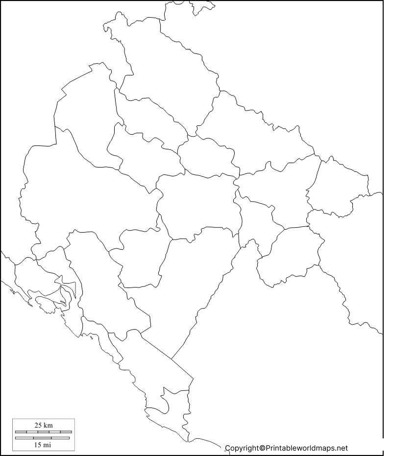
A printable Montenegro map can be used for labeling, coloring, geography assignments, classroom displays, and independent study. Printing the map also makes it easier to annotate geographic information by hand.
Printable Map Activities
Students can use a printable map to:
- Label Montenegro’s neighboring countries.
- Mark the Adriatic Sea.
- Locate Podgorica, the capital city.
- Identify important geographic features.
- Practice map-reading skills.
- Create a customized geography worksheet.
Transparent PNG Montenegro Map
A Transparent PNG Montenegro Map is useful when the map needs to be placed over another background, document, presentation, or educational graphic. A transparent image can also be useful for digital projects where a white background is not required.
The transparent format can be particularly helpful for presentations, worksheets, educational graphics, and other digital resources. Users can also combine the map with labels, symbols, or other geographic information.
Blank Map of Montenegro for Practice Worksheet
A Blank Map of Montenegro for Practice Worksheet can help students reinforce their understanding of the country’s geography. Teachers can use a blank map as the foundation for exercises involving neighboring countries, cities, physical geography, and map identification.
Teachers can create exercises such as:
- Label the five neighboring countries.
- Mark Podgorica on the map.
- Identify Montenegro’s Adriatic coastline.
- Add selected cities.
- Mark major rivers and mountain areas.
- Color different geographic regions.
- Test students without providing location labels.
These activities can be completed in the classroom or at home and can be adapted for different levels of geography study.
Montenegro Geography Facts
Here are some useful facts that can provide additional context when using a Blank Map of Montenegro:
| Fact | Information |
|---|---|
| Country | Montenegro |
| Region | Southeastern Europe / Balkans |
| Capital | Podgorica |
| Coastline | Adriatic Sea |
| Neighboring countries | Croatia, Bosnia and Herzegovina, Serbia, Kosovo, Albania |
| Official language | Montenegrin |
| Currency | Euro (€) |
| Largest lake | Lake Skadar |
| Highest point | Zla Kolata |
| Highest elevation | Approximately 2,534 m |
| Independence | 2006 |
Montenegro is geographically diverse despite its relatively small size. The country includes a narrow Adriatic coastal area, rugged mountain landscapes, karst terrain, valleys, and parts of the Dinaric Alps.
Montenegro’s Location in Europe
Montenegro is located in the western Balkans along the Adriatic Sea. Its position makes it useful for teaching students about the countries of southeastern Europe and the geography of the Balkan Peninsula.
On a regional map, Montenegro is bordered by Croatia and Bosnia and Herzegovina to the northwest, Serbia to the northeast, Kosovo to the east, and Albania to the southeast.
The country’s Adriatic coastline also provides an opportunity to teach students about coastal geography and the relationship between physical geography and settlement.
Educational Uses of a Blank Map of Montenegro
A Blank Map of Montenegro can be used in several educational settings.
For Students
Students can practice identifying borders, cities, neighboring countries, coastlines, and physical features without relying on pre-labeled maps.
For Teachers
Teachers can turn the blank map into customized worksheets, quizzes, homework assignments, and classroom activities.
For Geography Projects
The map can be incorporated into presentations and projects about Montenegro, the Balkans, Europe, or Adriatic countries.
For Coloring Activities
Younger students can use the outline to color Montenegro and its surrounding geographic features while developing basic map-recognition skills.
Frequently Asked Questions
What is a blank map of Montenegro?
A blank map of Montenegro is an outline map that focuses primarily on the country’s shape and boundaries. It can be used for labeling, coloring, geography practice, and educational activities.
Where is Montenegro located?
Montenegro is located in southeastern Europe in the western Balkans. It has a coastline along the Adriatic Sea.
Which countries border Montenegro?
Montenegro shares land borders with Croatia, Bosnia and Herzegovina, Serbia, Kosovo, and Albania.
What is the capital of Montenegro?
Podgorica is the capital and largest city of Montenegro.
Can I print the Montenegro blank map?
Yes. The printable map and PDF versions provided on this page can be downloaded and printed for educational and personal use.
What is the highest mountain in Montenegro?
Zla Kolata, part of the Prokletije mountain range, is generally recognized as Montenegro’s highest point at approximately 2,534 meters above sea level.
What sea borders Montenegro?
Montenegro has a coastline on the Adriatic Sea, which is part of the Mediterranean Sea.
What currency does Montenegro use?
Montenegro uses the euro (€) as its currency, although the country is not a member of the euro area.
Why are blank maps useful for students?
Blank maps encourage students to actively identify and label geographic information rather than simply reading pre-labeled locations. They are useful for tests, worksheets, revision, and classroom activities.
Is Montenegro part of the European Union?
No. Montenegro is not currently a member of the European Union. It is an EU candidate country and has been conducting accession negotiations.
Reference links
https://www.cia.gov/the-world-factbook/countries/montenegro
https://www.britannica.com/place/Montenegro
https://european-union.europa.eu/principles-countries-history/country-profiles/montenegro_en
