
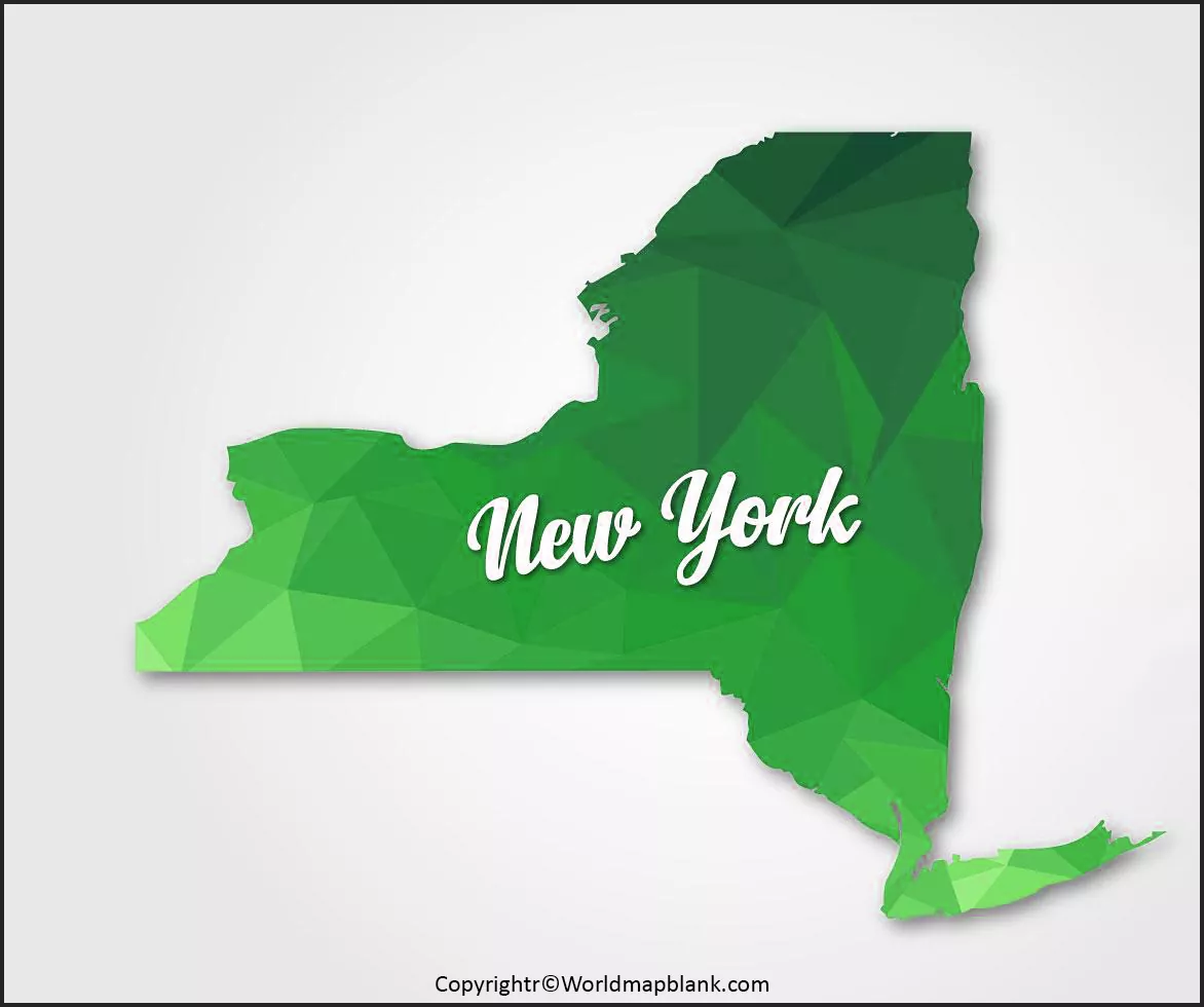

A Blank Map of New York is a useful educational resource for students, teachers, researchers, homeschoolers, and anyone studying the geography of New York State. An outline map can be used for labeling counties, cities, rivers, lakes, neighboring states, major geographic regions, and other locations.
Printable blank maps are especially useful for classroom exercises because students can add geographic information themselves instead of relying only on a pre-labeled map.

Blank Map of New York – Outline
A Blank Map of New York provides a simple outline of the state’s geographic boundaries without filling the map with unnecessary labels. This makes it suitable for geography assignments, map-labeling activities, quizzes, worksheets, presentations, and personal study.
New York is located in the northeastern United States. It borders Canada to the north and northwest and the U.S. states of Pennsylvania, New Jersey, Connecticut, Massachusetts, and Vermont. The state also has a coastline along the Atlantic Ocean.
New York’s geography includes the Adirondack Mountains, Catskill Mountains, Hudson Valley, Finger Lakes region, Great Lakes shoreline, and Long Island. Its location between the Great Lakes, the Atlantic coast, and the Canadian border makes it an important region for geographic study.
The New York State GIS Clearinghouse provides authoritative boundary data for the state, counties, cities, towns, villages, and other geographic areas. Its current civil-boundary dataset was published in March 2026 and is updated as needed.

New York Map Facts
| Geographic fact | Information |
|---|---|
| State | New York |
| Region | Northeastern United States |
| Capital | Albany |
| Largest city | New York City |
| Nickname | The Empire State |
| Country | United States |
| Northern border | Canada |
| Neighboring U.S. states | Pennsylvania, New Jersey, Connecticut, Massachusetts, Vermont |
| Major Great Lakes | Lake Erie and Lake Ontario |
| Major river | Hudson River |
| Atlantic coastline | Yes |
The exact appearance of a blank map can vary depending on whether the map shows only the state outline or also includes internal county, shoreline, or geographic boundaries.

Printable Map of New York

A Printable Map of New York can be useful when a student needs a physical map for a geography assignment, classroom exercise, or labeling activity. Instead of drawing the complete state outline manually, students can print an existing outline and use it as a practice worksheet.
A printable map can be used to identify and label:
- New York State
- Albany
- New York City
- Buffalo
- Rochester
- Syracuse
- Long Island
- Hudson River
- Lake Erie
- Lake Ontario
- Adirondack Mountains
- Catskill Mountains
- Neighboring states
- Selected counties and regions
For best printing results, use the PDF version when available because PDF files are generally better suited to maintaining layout and dimensions during printing.
Printable Blank Map of New York for Students
A Printable Blank Map of New York can be turned into a simple geography worksheet. Teachers can ask students to label selected cities, physical features, neighboring states, or other locations.

Transparent PNG Blank Map of New York

A Transparent PNG Blank Map of New York can be useful for digital presentations, worksheets, educational graphics, and geography projects.
A transparent PNG allows the map outline to be placed over another background without displaying a solid rectangular image background. This can be helpful when creating:
- School presentations
- Geography worksheets
- Digital learning materials
- Infographics
- Educational websites
- Map-labeling exercises
- Custom classroom resources
When using a transparent map image, check the image dimensions and resolution before printing. A higher-resolution source is preferable when the map needs to be enlarged.

New York Map worksheet

A Blank Map of New York worksheet gives students a practical way to test their knowledge of the state’s geography.
A worksheet can ask students to locate cities, bodies of water, neighboring states, geographic regions, or counties. Teachers can also create separate beginner and advanced versions depending on the students’ grade level.
Example Worksheet Questions
- What is the capital of New York?
- Which Canadian country borders New York?
- Name two U.S. states bordering New York.
- Where is Lake Ontario located?
- Which major river flows through the Hudson Valley?
- Where is New York City located within the state?
- Name two major cities in western New York.
- Identify the Adirondack Mountains.
- Locate Long Island on the map.
- Label the state’s major neighboring regions.
A blank worksheet is particularly useful because students must actively recall geographic information rather than simply reading labels from a completed map.
New York Geography: Important Facts
New York has a diverse physical geography. The state includes large freshwater bodies, mountain regions, river valleys, forests, agricultural areas, urban centers, and a significant Atlantic coastline.
The state’s boundary data is maintained through New York’s official GIS infrastructure. The New York State civil-boundary dataset contains geographic boundaries for the state and its counties, cities, towns, villages, and other areas.
The official New York GIS Clearinghouse also provides public access to geographic information and mapping resources covering subjects such as boundaries, transportation, elevation, water, recreation, and environmental data.
Why New York Is Useful for Map Practice
New York is particularly interesting for map exercises because students can study several geographic environments in one state:
- Great Lakes: Lake Erie and Lake Ontario
- Mountain areas: Adirondack and Catskill regions
- River systems: Hudson River and other waterways
- Coastal geography: Atlantic Ocean and Long Island
- Urban geography: New York City, Buffalo, Rochester, and Syracuse
- International boundary: Canada
- State boundaries: Pennsylvania, New Jersey, Connecticut, Massachusetts, and Vermont
Blank Map of New York for Geography Projects
A Blank Map of New York can be incorporated into school projects, reports, presentations, and educational activities.
Students can customize the map by adding:
- Geographic coordinates
- Cities
- Counties
- Rivers
- Lakes
- Mountains
- Highways
- Regional divisions
- Historical locations
- Population information
- Economic or agricultural regions
For more advanced projects, students can compare a blank outline with official GIS boundary data and investigate how geographic boundaries are represented digitally.
How to Use a Blank Map of New York
Using a blank map is simple:
- Choose the required outline, transparent PNG, or worksheet.
- Download the image or PDF.
- Print the map if a physical worksheet is needed.
- Add labels using a pencil, pen, or digital editing software.
- Compare the completed map with a reliable reference map.
- Correct any locations that were misplaced.
- Save the completed worksheet for revision or assessment.
For digital projects, PNG files are convenient because they can be inserted into presentations and documents. PDF files are generally preferable when the main purpose is printing.
Frequently Asked Questions About Blank Map of New York
What is a Blank Map of New York?
A Blank Map of New York is an outline map of New York State with few or no geographic labels. It can be used for learning, labeling exercises, worksheets, classroom activities, and geography projects.
What can students label on a blank New York map?
Students can label cities, counties, rivers, lakes, mountain regions, neighboring states, Long Island, and other geographic features depending on the map being used.
What states border New York?
New York borders Pennsylvania, New Jersey, Connecticut, Massachusetts, and Vermont. It also shares an international boundary with Canada.
Does New York border Canada?
Yes. New York shares an international border with Canada along portions of its northern and western sides.
What is the capital of New York?
The capital of New York State is Albany.
What is the largest city in New York?
New York City is the largest city in New York State by population.
Which Great Lakes border New York?
New York has shorelines on Lake Erie and Lake Ontario.
Is a transparent PNG better than a PDF?
They serve different purposes. A transparent PNG is convenient for digital projects and presentations, while a PDF is usually more suitable for printing and maintaining document layout.
Can a blank New York map be used as a worksheet?
Yes. A blank map can be used as a worksheet for labeling cities, states, water bodies, geographic regions, counties, and other features.
Where can I verify New York geographic boundaries?
The New York State GIS Clearinghouse and official New York State GIS services provide authoritative geographic boundary and mapping resources.
Reference Links
https://gisservices.its.ny.gov/arcgis/rest/services/NYS_Civil_Boundaries/FeatureServer
https://gisservices.its.ny.gov/arcgis/rest/services/NYS_Civil_Boundaries/FeatureServer/0
https://gisservices.its.ny.gov/arcgis/rest/services/NYS_Civil_Boundaries/FeatureServer/2

3 thoughts on “Printable Blank Map of New York – Outline, Transparent map”