


Explore our printable blank map of Antigua and Barbuda in PDF and PNG formats. These map resources are useful for geography lessons, classroom activities, school projects, map-labeling exercises, and personal learning. Choose an outline map to practice drawing, a printable map for reference, or a worksheet to test your knowledge.
Antigua and Barbuda is an island country in the eastern Caribbean, located in the Leeward Islands. The country consists of two main inhabited islands, Antigua and Barbuda, along with smaller islands, including uninhabited Redonda. Its capital is St. John’s, located on the island of Antigua.
This page provides downloadable map resources along with geographical facts to help students, teachers, and map enthusiasts understand the country’s location and physical features.
Antigua and Barbuda Blank Map Outline
Use the blank outline map of Antigua and Barbuda to study the country’s shape and island geography. This resource is suitable for students who want to practice drawing maps, identify the main islands, or complete geography assignments.
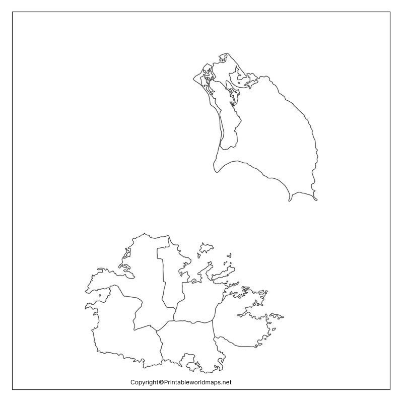
How to Use the Blank Outline Map
- Locate Antigua and Barbuda on a Caribbean map.
- Study the outline and relative positions of the islands.
- Label Antigua, Barbuda, and nearby islands if they are shown.
- Mark St. John’s on Antigua using a reliable reference map.
- Add a title, compass direction, and legend if your assignment requires them.
A blank outline is particularly helpful for practicing map-reading skills without relying on preprinted labels.
Printable Map of Antigua and Barbuda
The printable map of Antigua and Barbuda is useful for classroom handouts, school projects, travel studies, and general geographical reference. Print the map to study the country’s island layout or include it in a geography notebook.
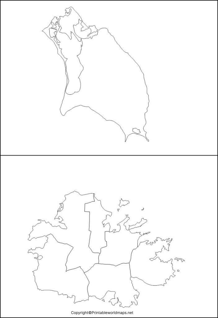
Tips for Printing Your Map
- Select portrait or landscape orientation according to the map’s proportions.
- Use the fit-to-page setting to prevent the map from being cut off.
- Choose a suitable print quality if small island outlines or labels are difficult to read.
- Check the downloaded file before printing to confirm that all map details are visible.
For worksheets and school activities, black-and-white printing may be sufficient. If you need to distinguish geographical features, use colored pencils to add your own labels and symbols.
Transparent PNG Antigua and Barbuda Map
A transparent PNG map can be useful when preparing educational presentations, worksheets, posters, or digital geography projects. Unlike a map with an opaque background, a transparent image can be placed over a colored slide or design without displaying a solid rectangular background, provided the downloaded image actually contains transparency.
When to Use a Transparent Map
Transparent maps work well for digital presentations, geography infographics, classroom slides, and custom educational materials. Before using the image, check whether it has a transparent background and whether its resolution is suitable for your intended purpose.
Map of Antigua and Barbuda Practice Worksheet
Use the Antigua and Barbuda map practice worksheet to reinforce geographical knowledge and improve map-labeling skills. Students can use the worksheet for independent study, classroom exercises, homework, or revision before a geography test.
Practice Activities for Students
Try these activities with the worksheet:
- Label Antigua and Barbuda.
- Mark the capital city, St. John’s, on Antigua.
- Identify the Caribbean Sea and the Atlantic Ocean in relation to the country.
- Add a compass rose and a map title.
- Compare your completed worksheet with a trusted reference map.
Teachers can also use the worksheet for short quizzes or group activities. Check the individual worksheet before assigning an activity because the features and labels included may differ between versions.
Antigua and Barbuda: Geography Facts
Antigua and Barbuda is a small island country in the eastern Caribbean. The following facts provide additional context for understanding the printable maps.
| Geographical feature | Information |
|---|---|
| Country | Antigua and Barbuda |
| Region | Eastern Caribbean |
| Island group | Leeward Islands |
| Capital | St. John’s |
| Main inhabited islands | Antigua and Barbuda |
| Other notable island | Redonda, uninhabited |
| Total area | Approximately 443 square kilometres |
| Official language | English |
| Currency | Eastern Caribbean dollar (XCD) |
These figures are supported by country profiles from the Pan American Health Organization and the Government of Antigua and Barbuda’s Citizenship by Investment Programme. Read the PAHO country profile and official country overview.
Where Is Antigua and Barbuda Located?
Antigua and Barbuda lies in the Leeward Islands of the northern Caribbean, east-southeast of Puerto Rico. The country sits between the Caribbean Sea and the North Atlantic Ocean.
Its position makes it a useful example when studying Caribbean island groups, regional geography, and the relationship between islands and surrounding seas.
What Are the Main Islands of Antigua and Barbuda?
Antigua is the larger of the two main inhabited islands and is home to the capital, St. John’s. Barbuda lies to the north of Antigua, while Redonda is a smaller, uninhabited island.
These islands have different physical characteristics. Antigua has an indented coastline with numerous bays and natural harbours, while Barbuda is generally low-lying.
What Is the Capital of Antigua and Barbuda?
St. John’s is the capital of Antigua and Barbuda. It is located on Antigua and serves as an important centre for government, commerce, and transport.
When completing a blank map, use a reliable reference map to mark the city’s location accurately.
Why Is Map Practice Useful?
Working with blank maps can help students develop spatial awareness, recognize island shapes, understand relative locations, and remember geographical names. Printable worksheets also allow learners to repeat an exercise until they can label the main features independently.
Frequently Asked Questions
1. Where can I download a printable blank map of Antigua and Barbuda?
You can download the blank outline map and other printable map resources from the links provided above. Choose the PNG version for viewing or digital use and the PDF version for convenient printing.
2. Is the Antigua and Barbuda blank map available in PDF format?
Yes. PDF download links are provided for the blank outline, printable map, transparent map resource, and practice worksheet.
3. What is the capital of Antigua and Barbuda?
The capital is St. John’s, located on the island of Antigua.
4. Where is Antigua and Barbuda located?
Antigua and Barbuda is in the Leeward Islands of the eastern Caribbean, between the Caribbean Sea and the North Atlantic Ocean.
5. Which islands make up Antigua and Barbuda?
The two main inhabited islands are Antigua and Barbuda. Redonda is another island belonging to the country, but it is uninhabited.
6. How can students use a blank map of Antigua and Barbuda?
Students can label the islands, mark the capital, identify surrounding seas, practice drawing island outlines, and complete geography assignments.
7. What is the difference between a PNG map and a PDF map?
PNG is an image format that is convenient for viewing and adding to digital projects. PDF is generally convenient for printing and preserving page layout. Actual image quality depends on the resolution of the source file.
8. Can teachers use these maps for classroom activities?
Yes. Teachers can use the maps for geography lessons, map-labeling exercises, revision activities, and worksheets. Review each file first to ensure it matches the learning objectives.
Reference links
https://www.paho.org/en/antigua-and-barbuda
https://www.cia.gov/the-world-factbook/about/archives/2025/countries/antigua-and-barbuda
https://digitallibrary.un.org/record/4091779/files/ST_ESA_STAT_SER.V_48-EN.pdf
