
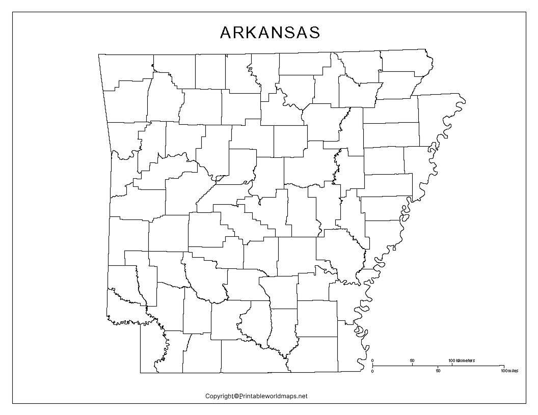

Are you looking for a printable blank map of Arkansas for schoolwork, geography practice, teaching, or a presentation? This page provides free Arkansas outline maps, printable map images, transparent PNG options, and practice worksheets to help you study the state’s shape, location, and geography.
Choose the map that suits your needs, open the PNG image for digital use, or use the linked PDF version when available for printing. Blank maps are useful for labeling cities, identifying neighboring states, marking rivers, and practicing state geography.
Blank Map of Arkansas – Outline
A blank map of Arkansas provides an outline of the state without requiring you to start drawing its shape from scratch. It is useful for classroom assignments, geography quizzes, map-labeling exercises, and educational projects.

Arkansas Geography at a Glance
Arkansas is a state in the south-central United States. Its capital and most populous city is Little Rock. The state is known for its mountains, forests, rivers, agricultural regions, and outdoor recreation areas.
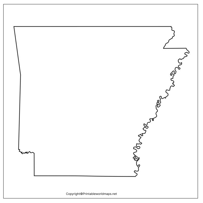
Here are some important facts to know when studying an Arkansas blank map:
- Capital: Little Rock
- Region: South-central United States
- Statehood: June 15, 1836
- Area: Approximately 53,179 square miles (137,732 square kilometers)
- Neighboring states: Missouri, Tennessee, Mississippi, Louisiana, Texas, and Oklahoma
- Major geographic regions: The Ozark Mountains, the Ouachita Mountains, the Arkansas River Valley, and the Mississippi Alluvial Plain
Arkansas became the 25th state of the United States in 1836. Its varied landscape makes it a useful subject for learning about physical geography, waterways, landforms, and state boundaries.
printableworldmaps.netEdit Profile
States Bordering Arkansas
Arkansas shares its borders with six states. Use a blank map to practice locating each one:
- Missouri lies to the north.
- Tennessee lies to the east, across the Mississippi River.
- Mississippi lies to the east and southeast, across the Mississippi River.
- Louisiana lies to the south.
- Texas lies to the southwest.
- Oklahoma lies to the west.
These neighboring states are useful starting points for map-labeling exercises. For a more detailed reference, consult the U.S. Census Bureau’s state geographic resources.
Printable Map of Arkansas
A printable map of Arkansas is useful for students, teachers, homeschool activities, and anyone who wants a simple state map for reference or study.
How to Print Your Arkansas Map
- Select the PNG image or PDF that matches your needs.
- Open the file and check the map’s readability.
- Select your printer’s paper size, such as US Letter (8.5 × 11 inches).
- Choose portrait or landscape orientation based on the map’s proportions.
- Use the print preview to check margins and make sure the entire outline fits on the page.
- Print the map and label the features required for your assignment.
For the clearest results, use the PDF version when it is available and verify the final print preview before printing. PNG images are also suitable for worksheets, presentations, and many digital projects.
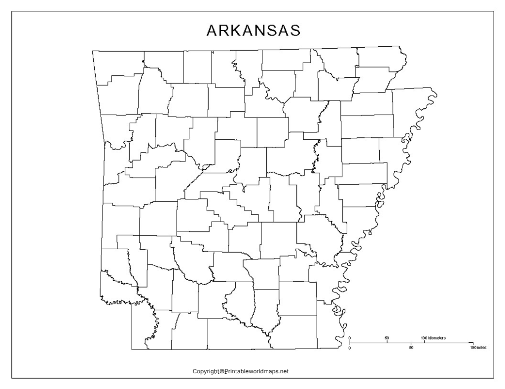
Transparent PNG Arkansas Map
A transparent PNG Arkansas map can be useful when you need to place the state’s outline over a colored background, in a slide presentation, or in an educational design. PNG files can preserve transparent areas when the original image was created with transparency.
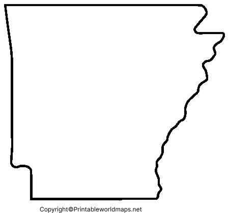
Before using the image in a presentation or design, check whether its background is genuinely transparent. You can place the image over a contrasting background to confirm. Also review the file’s resolution and usage permissions before publishing it commercially.
Map of Arkansas for Practice Worksheet
A blank Arkansas map worksheet helps students practice recognizing the state’s shape, locating neighboring states, and learning important geographical features. Teachers can also use outline maps for classroom exercises, quizzes, homework, and revision.
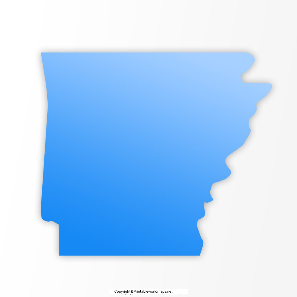
Arkansas Map Practice Activities
Try these activities after printing the worksheet:
- Label neighboring states: Write the names of all six states that border Arkansas.
- Mark the capital: Locate Little Rock and mark it with a star.
- Identify major rivers: Find the Arkansas River and Mississippi River using a reliable reference map.
- Explore landforms: Research the Ozark and Ouachita mountain regions and mark their approximate locations.
- Create a geography quiz: Leave selected labels blank and ask students to fill them in from memory.
- Compare physical and political maps: Observe how rivers, mountains, cities, and state boundaries are represented differently.
For accurate labeling, compare your completed worksheet with an official or authoritative reference map.

Extra Facts About Arkansas for Geography Practice
Use these facts to make your map activity more informative:
- Capital city: Little Rock is the state capital and a major center of government, business, and culture.
- Natural regions: The Ozark and Ouachita mountain regions are important features of western and northwestern Arkansas.
- Major river: The Arkansas River crosses the state and is an important part of its drainage system.
- Eastern boundary: The Mississippi River forms much of Arkansas’s eastern border.
- State nickname: Arkansas is commonly known as the Natural State.
- National park: Hot Springs National Park is located in central Arkansas and is known for its historic thermal springs.
- For verified state information, consult the official Arkansas state website and the National Park Service.
Frequently Asked Questions About the Printable Blank Map of Arkansas
1. Where can I download a printable blank map of Arkansas?
You can use the PNG and PDF map links provided in this article. Choose the outline map for labeling activities or the printable map for general geography practice.
2. Can I print a blank map of Arkansas for free?
The map resources linked on this page are presented as free downloads. Check the individual file page for any applicable terms or restrictions before using a map for commercial purposes.
3. What is the best file format for printing an Arkansas map?
PDF is generally a convenient choice for printing because it can preserve page dimensions and layout. PNG is useful for digital worksheets, presentations, and image editing. Print quality depends on the source file and its resolution.
4. Which states border Arkansas?
Arkansas borders Missouri to the north, Tennessee and Mississippi to the east, Louisiana to the south, Texas to the southwest, and Oklahoma to the west.
5. What is the capital of Arkansas?
Little Rock is the capital of Arkansas. It is located in the central part of the state.
6. How can students use an Arkansas outline map?
Students can label the capital, identify bordering states, mark rivers and mountain regions, complete geography worksheets, and practice locating important places.
7. Can I use a transparent Arkansas map in a presentation?
Yes, a transparent PNG can be useful for presentations if the original file contains an actual transparent background. Check the image’s transparency, resolution, and permitted uses before adding it to a project.
8. Where can I find reliable information to label an Arkansas map?
Use official resources such as the Arkansas state government website, the U.S. Census Bureau’s geographic resources, and the National Park Service for relevant geographical and landmark information.
Reference links
https://www.census.gov/quickfacts/fact/table/AR/POP815218
https://www.census.gov/geographies/reference-files.html
https://www.nps.gov/hosp/index.htm
https://www.arkansasedc.com/docs/default-source/reports/arkansas-economic-overview-english-web.pdf
https://encyclopediaofarkansas.net/entries/arkansas-overview-6077
https://printableworldmaps.net/wp-content/uploads/2023/07/Blank-Map-of-Arkansas-1024×1024-1.png
https://printableworldmaps.net/wp-content/uploads/2025/05/Blank-Map-of-Arkansas-1024×1024-1.pdf
https://printableworldmaps.net/wp-content/uploads/2023/07/Arkansas-Blank-map-Outline.png
https://printableworldmaps.net/wp-content/uploads/2025/05/Arkansas-Blank-map-Outline.pdf
https://printableworldmaps.net/wp-content/uploads/2023/07/Printable-Map-of-Arkansas.png
https://printableworldmaps.net/wp-content/uploads/2025/05/Printable-Map-of-Arkansas.pdf
https://printableworldmaps.net/wp-content/uploads/2023/07/Transparent-PNG-Arkansas-Map-2.png
https://printableworldmaps.net/wp-content/uploads/2025/05/Transparent-PNG-Arkansas-Map.pdf
https://printableworldmaps.net/wp-content/uploads/2023/07/Map-of-Arkansas-for-Practice-Worksheet.png
https://printableworldmaps.net/wp-content/uploads/2025/05/Map-of-Arkansas-for-Practice-Worksheet.pdf
https://printableworldmaps.net/wp-content/uploads/2023/07/image-509.png


