

Blank Map of Slovenia provides a simple way to study, print, label, and practice the geography of Slovenia. These maps are useful for students, teachers, researchers, homeschool activities, geography quizzes, classroom worksheets, and educational projects.
Slovenia is a small Central European country located between the Alps, the Adriatic Sea, and the Pannonian Basin. It borders Austria, Croatia, Hungary, and Italy and has a short Adriatic coastline. Its capital and largest city is Ljubljana.
The downloadable maps below include an outline map, printable map, transparent PNG map, and practice worksheet. They can be used for labeling cities, regions, neighboring countries, physical features, and other geographic information.
Blank Map of Slovenia – Outline
The Blank Map of Slovenia shows the country’s overall shape without adding unnecessary geographic labels. It is particularly useful for geography exercises where students need to identify locations independently.
Slovenia is situated in Central Europe and covers approximately 20,273 square kilometers. The country has four international land borders: Austria to the north, Hungary to the northeast, Croatia to the southeast and south, and Italy to the west. Slovenia also has a short coastline on the Adriatic Sea.
The Julian Alps are located in northwestern Slovenia, while the country’s landscape also includes mountains, karst regions, forests, valleys, rivers, and lowland areas.
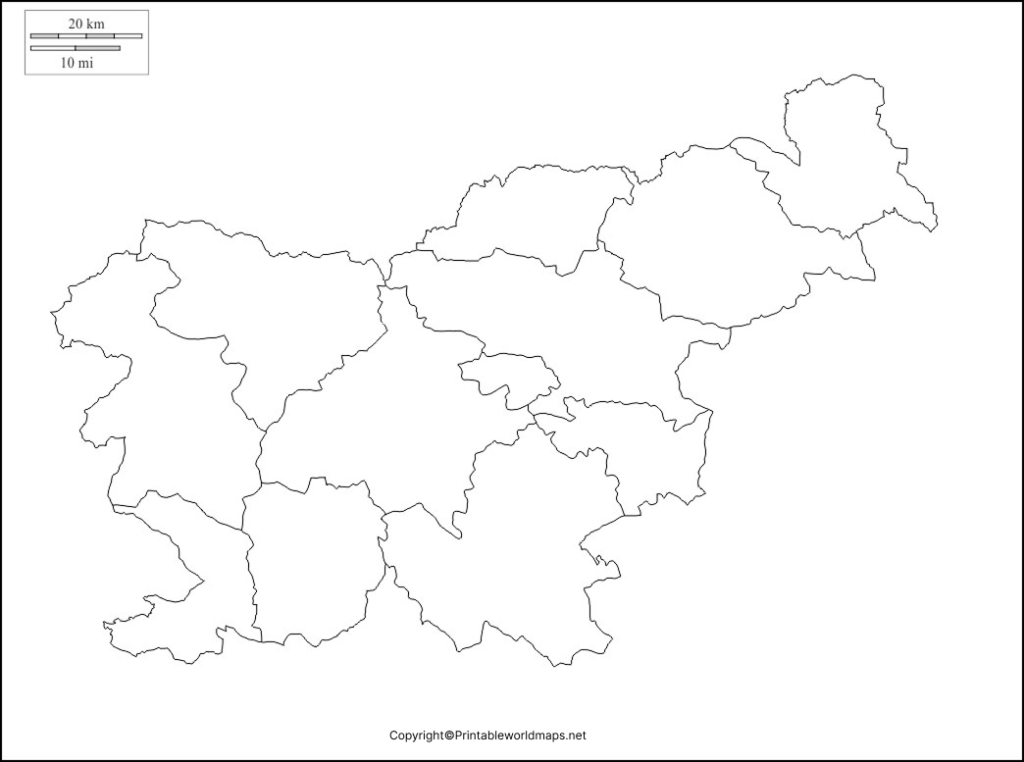
A blank outline map can be used to practice the locations of Slovenia’s neighboring countries, major cities, rivers, mountain ranges, and other geographic features. Teachers can also use it as a classroom worksheet or geography quiz.
Printable Map of Slovenia
A Printable Map of Slovenia is useful when a physical copy is needed for classroom activities, homework, geography assignments, travel planning, or personal study.

For educational use, a printable map can help students learn the country’s location in Europe and identify its borders, major cities, regions, and physical geography.
For the best print quality, download the PDF version where available and check the page orientation and printer scaling before printing.
Transparent PNG Slovenia Map
The Transparent PNG Slovenia Map is useful for digital presentations, worksheets, educational graphics, websites, and geography projects where the map needs to be placed over another background.

A transparent PNG can be especially useful in graphic-editing software because the map can be positioned over a colored background or incorporated into a larger educational illustration.
When using the image digitally, users should check the applicable usage and copyright conditions before publishing or redistributing it.
Map of Slovenia for Practice Worksheet
The Map of Slovenia for Practice Worksheet can help students test their knowledge after learning about Slovenia’s geography.
Teachers can use a blank worksheet for activities such as:
- Labeling Ljubljana and other major cities
- Identifying neighboring countries
- Marking Slovenia’s Adriatic coastline
- Locating major rivers and lakes
- Identifying mountain areas
- Practicing regional geography
- Creating geography quizzes
- Testing map-reading skills
A blank worksheet encourages students to recall geographic information rather than simply reading labels from a completed map.
Slovenia Geography Facts
Here are several useful facts that can add context to a Blank Map of Slovenia:
| Fact | Information |
|---|---|
| Country | Slovenia |
| Capital | Ljubljana |
| Region | Central Europe |
| Area | Approximately 20,273 km² |
| Currency | Euro (€) |
| Official language | Slovene |
| Neighboring countries | Austria, Croatia, Hungary, Italy |
| Coastline | Adriatic Sea |
| Highest mountain | Triglav, 2,864 m |
| Major geographic regions | Alps, Dinaric Alps, Pannonian Plain, Mediterranean region |
| Major river | Sava |
| Famous lake | Lake Bled |
| Highest point | Mount Triglav |
The country’s highest mountain, Triglav, reaches approximately 2,864 meters and is one of Slovenia’s best-known geographic landmarks.
How to Use a Blank Map of Slovenia
A blank map can be used in several ways depending on the learning objective.
For students: Print the map and label Ljubljana, neighboring countries, rivers, mountains, and other important locations.
For teachers: Turn the outline map into a geography quiz by removing labels and asking students to identify geographic features.
For researchers: Use a blank map as a base layer for adding specific geographic information relevant to a project.
For digital projects: A transparent PNG can be imported into presentation or image-editing software and annotated with labels, arrows, symbols, or colors.
Frequently Asked Questions
What is a Blank Map of Slovenia?
A Blank Map of Slovenia is an unlabeled map showing the country’s outline. It can be used for geography practice, classroom activities, worksheets, quizzes, and educational projects.
Can I print the Slovenia blank map?
Yes. The printable Slovenia maps provided on this page can be downloaded and printed. PDF versions are particularly convenient for printing.
Which countries border Slovenia?
Slovenia shares land borders with Austria, Croatia, Hungary, and Italy. It also has a short coastline along the Adriatic Sea.
What is the capital of Slovenia?
Ljubljana is the capital and largest city of Slovenia.
What is the highest mountain in Slovenia?
Mount Triglav is Slovenia’s highest mountain, with an elevation of approximately 2,864 meters.
What is the official language of Slovenia?
The official language of Slovenia is Slovene, also commonly called Slovenian.
Why use a blank map for geography practice?
Blank maps encourage students to recall and identify geographic information independently. They can be used for labeling exercises, quizzes, worksheets, and classroom revision.
Is Slovenia part of Central Europe?
Yes. Slovenia is generally classified as a Central European country and is also geographically connected with the Alpine, Mediterranean, Dinaric, and Pannonian regions.
Reference Links
https://www.gov.si/en/topics/slovenia
https://www.stat.si/StatWeb/en
https://www.britannica.com/place/Slovenia
https://www.cia.gov/the-world-factbook/countries/slovenia
https://european-union.europa.eu/principles-countries-history/country-profiles/slovenia_en
