

A Printable Blank Map of Idaho is a useful resource for students, teachers, parents, and geography enthusiasts who want to learn about the state of Idaho. A blank outline map can help learners practice identifying state boundaries, marking important cities, locating neighboring states, and understanding Idaho’s geographical features.
You can use the maps and worksheets below for classroom activities, homework, geography revision, and educational projects. Choose a PNG image for digital use or a PDF version when you want to print a worksheet.
Blank Map of Idaho – Outline
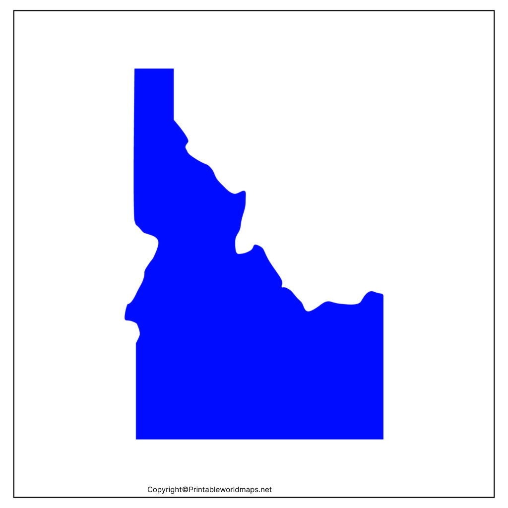
Use a blank Idaho outline map to study the state’s shape and practice drawing or labeling geographical features. Students can mark the state capital, neighboring states, major rivers, mountain ranges, and other locations as part of a geography exercise.

An outline map is especially useful for map-labeling exercises. Teachers can ask students to identify Boise, trace Idaho’s borders, and label surrounding states without relying on a pre-labeled reference map.

Printable Map of Idaho
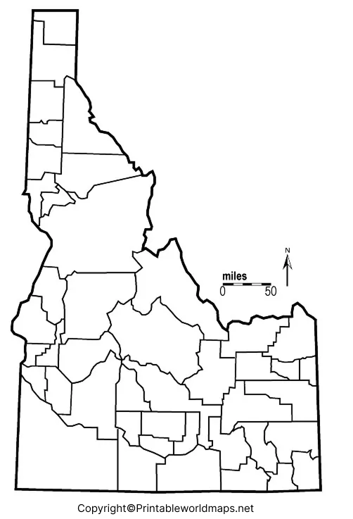
A printable map of Idaho provides a convenient starting point for school assignments, home learning, and geography practice. Print the map and use it to mark important places, identify geographical features, or prepare for a classroom quiz.

For best printing results, select the appropriate paper size in your printer settings and use the print preview to check that the entire map fits on the page. Choose a PDF when you want a consistent page layout, or use the PNG image for digital worksheets and presentations.
Transparent PNG Idaho Map
A transparent PNG Idaho map can be useful when you want to place the state’s outline over another image, presentation slide, worksheet, or educational graphic. Unlike a JPEG, a PNG file can support transparent areas when the original image has been created with an alpha channel.

Transparency depends on the actual image file. If you need a map with a transparent background, check the PNG before using it in a design project. A PDF version may display differently depending on how the document was created.
This map format can support presentations, geography assignments, classroom posters, and other educational materials. For precise boundary information or professional mapping work, consult an authoritative government mapping source.
Blank Map of Idaho Worksheet
A blank Idaho map worksheet helps students learn through active practice rather than simply reading geographical information. Students can label locations, identify neighboring states, and answer questions using the outline as a reference.
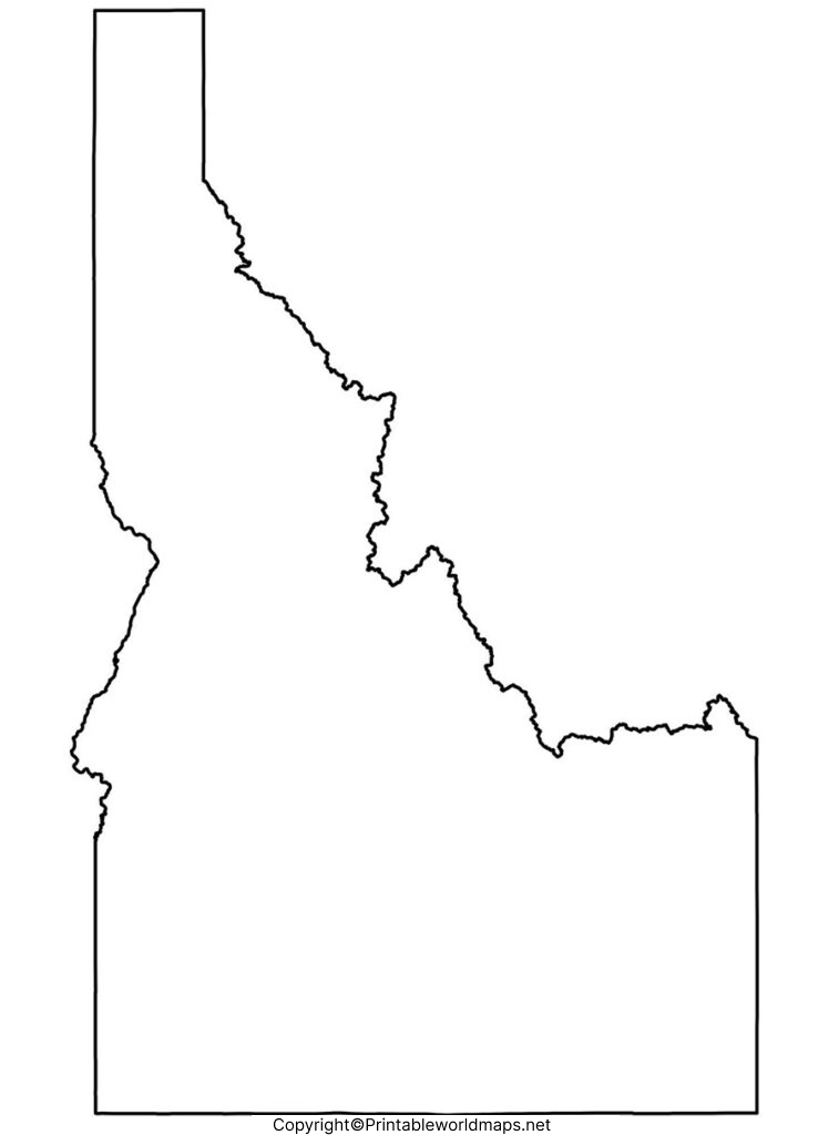
Activities to complete with the worksheet
- Label Boise, the capital of Idaho.
- Write the names of the states that border Idaho.
- Mark the Snake River and identify important mountain areas using a reference map.
- Add a title, compass direction, and map key where appropriate.
- Compare your completed worksheet with a reliable geographical reference.
These activities can help learners practice spatial awareness, map reading, spelling of geographical names, and recall of state locations. Teachers can adapt the exercises for different grade levels by changing the number of locations students must identify.
Idaho Geography: Important Facts to Know
Before completing a blank map, it helps to learn a few verified facts about Idaho. The following information can be used as a reference during map-labeling exercises.
| Geographic fact | Information |
|---|---|
| State capital | Boise |
| Statehood | July 3, 1890 |
| State nickname | The Gem State |
| Highest point | Borah Peak |
| Highest elevation | Approximately 12,662 feet |
| Region | Northwestern United States |
| Neighboring states | Washington, Oregon, Nevada, Utah, Wyoming, and Montana |
Idaho has varied landscapes, including mountains, forests, river valleys, and agricultural areas. Its geographical diversity makes the state a useful subject for studying physical geography, landforms, rivers, and regional differences.
Which states border Idaho?
Idaho shares borders with six states: Washington, Oregon, Nevada, Utah, Wyoming, and Montana. Students can use a blank outline map to practice writing each state’s name in the correct position.
This activity is a simple way to learn Idaho’s location in the United States and understand how state boundaries connect neighboring regions.
What is the capital of Idaho?
Boise is the capital of Idaho. Students should mark Boise on a map when practicing state geography. For greater accuracy, use a labeled reference map to find the city’s approximate location before transferring it to the blank outline.
What is the highest point in Idaho?
Borah Peak, in the Lost River Range, is Idaho’s highest point, with an elevation of approximately 12,662 feet. Students can use a physical map or topographic reference to understand where the mountain lies within the state.
Why are blank maps useful for geography practice?
Blank maps encourage active recall. Instead of looking at names already printed on a map, learners must remember locations and place them themselves. This can make blank maps useful for revision, classroom assessments, independent study, and group activities.
How to Print and Use an Idaho Map
Follow these steps to get the best results from your printable map:
- Choose the PNG image or PDF worksheet that suits your activity.
- Open the file and check its orientation and page dimensions.
- Select a suitable paper size and review the print preview.
- Print the map using a scale that keeps the outline clear and readable.
- Use a pencil for labels and notes so that mistakes can be corrected easily.
- Compare the completed map with a reliable reference before submitting the assignment.
For digital projects, use the PNG version when image placement is important. For worksheets that need a consistent page layout, a PDF is generally more convenient.
Frequently Asked Questions
1. Where can I download a printable blank map of Idaho?
You can use the PNG and PDF links in the sections above to access a blank Idaho outline map and practice worksheet. Choose the format that best suits your printing or digital learning needs.
2. Can I print a blank Idaho map for school?
Yes. A blank outline map can be used for school assignments, geography lessons, revision exercises, and classroom quizzes. Check your teacher’s instructions to determine which locations and features you need to label.
3. What is the difference between PNG and PDF map files?
PNG is an image format suitable for digital documents and presentations. PDF is a document format that generally preserves page layout for printing. A PNG can have a transparent background if transparency is present in the original file.
4. What should I label on a blank map of Idaho?
Start with Boise, the six neighboring states, major rivers, and important mountain ranges. Depending on your assignment, you may also label other cities, lakes, and physical features.
5. Which states border Idaho?
Idaho borders Washington, Oregon, Nevada, Utah, Wyoming, and Montana. Use a reference map to check the position of each neighboring state before completing your worksheet.
6. What is the capital of Idaho?
Boise is the capital of Idaho. It is an important location to include in state geography practice.
7. What is Idaho’s highest point?
Borah Peak is the highest point in Idaho, reaching approximately 12,662 feet above sea level.
8. How can I use a transparent Idaho PNG map?
A transparent PNG can be layered over a presentation, worksheet, or graphic when the image has a transparent background. Check the file’s transparency before using it.
9. Are these maps suitable for professional or official use?
These maps are intended for general educational and reference purposes. For surveying, legal boundaries, GIS analysis, or other precision-dependent work, consult authoritative government datasets and confirm the applicable data specifications.
Reference links
https://www.census.gov/quickfacts/fact/table/ID/LND110210
https://data.census.gov/profile/Idaho

1 thought on “Printable Blank Map of Idaho – Outline, Transparent PNG map”