

A Printable Blank Map of New Jersey is a useful resource for students, teachers, parents, and geography enthusiasts who want to study the state’s location, shape, counties, and surrounding geography. A blank map can be printed for classroom activities, homework, geography quizzes, and educational projects.
New Jersey is located in the Mid-Atlantic region of the United States. It borders New York to the north and northeast, Pennsylvania to the west, Delaware across the Delaware River and Bay to the southwest, and the Atlantic Ocean to the east. Its capital is Trenton, and its nickname is the Garden State.
Blank Map of New Jersey – Outline
A blank outline map of New Jersey shows the state’s external shape without requiring students to rely on labels or pre-filled information. It is useful for learning the state’s location and practicing basic map-reading skills.
How to use it: Print the map and label New Jersey’s neighboring states, the Atlantic Ocean, and other geographical features appropriate to your lesson. If your version includes county boundaries, use different colors to distinguish the counties.
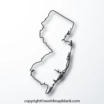
New Jersey has 21 counties. Check the map’s level of detail before using it for a county-labeling exercise, because a simple state outline may not display internal county boundaries.
Printable Map of New Jersey
A printable map of New Jersey can be used for classroom lessons, school assignments, personal study, and geography practice. A PNG file is convenient for viewing on a screen or inserting into a worksheet, while a PDF is generally convenient for printing.
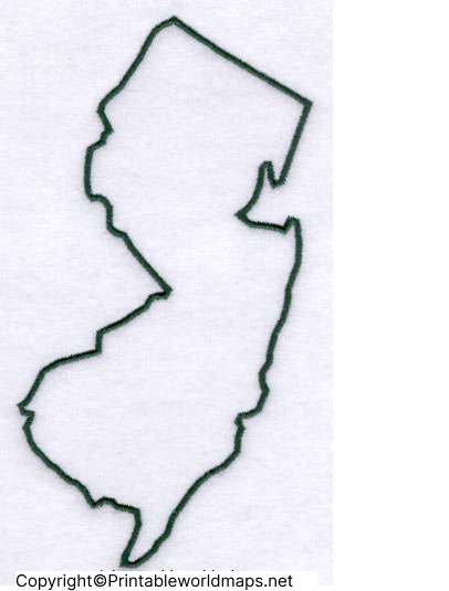
Before printing, open the file and check whether it contains state boundaries, county divisions, labels, or other features required for your activity. Choose a page orientation and print scale that keep the map legible.
For a classroom worksheet, leave enough space around the map for students to write labels and answers. For a presentation or digital project, check that the map remains clear when resized.
Transparent PNG Blank Map New Jersey
A transparent PNG map of New Jersey can be useful for digital worksheets, presentations, educational posters, and graphics. Unlike an image with a solid background, a genuinely transparent PNG can be placed over a colored background or another design element.
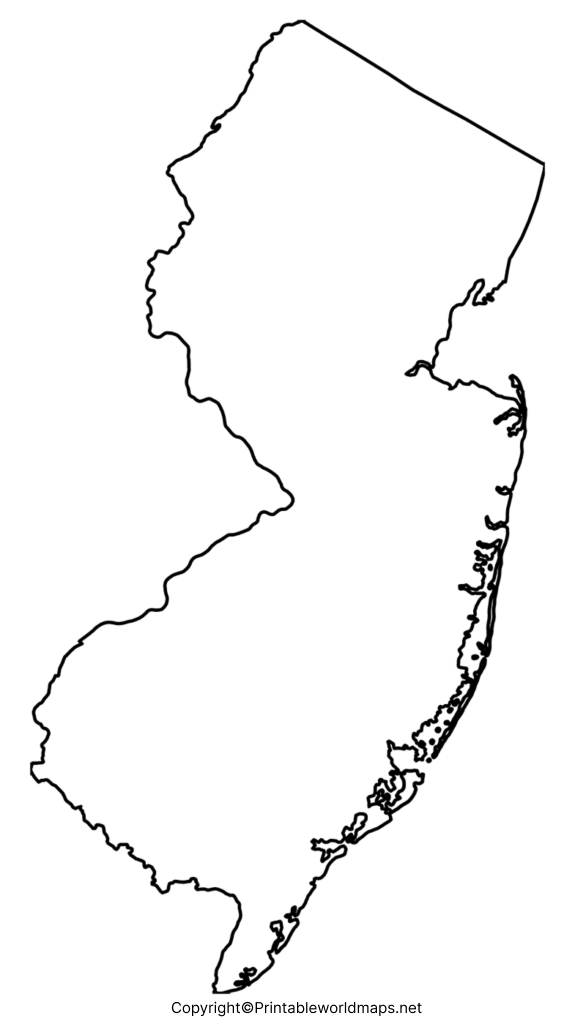
Tip: A PNG file can support transparency, but not every PNG actually has a transparent background. Check the downloaded file in an image editor or place it over a colored background to verify transparency. The PDF version may not preserve transparency in the same way as the original image.
You can use a transparent map to highlight locations, add labels, compare geographic features, or create educational graphics. Verify the image’s usage rights before redistributing or publishing it.
Blank New Jersey Map worksheet
A blank New Jersey map worksheet helps students practice geography through active recall rather than simply reading a labeled map. Depending on the worksheet’s design, learners can identify counties, mark cities, label neighboring states, or answer questions about the state’s geography.

Practice activities for students
- State location: Label New Jersey and its neighboring states.
- County identification: If county boundaries are shown, identify and label all 21 counties.
- Capital city: Mark Trenton, the state capital.
- Water features: Identify the Atlantic Ocean, Delaware River, and Delaware Bay where appropriate.
- Geography quiz: Complete the map from memory, then compare your answers with a reliable reference map.
Teachers can adapt these activities to different grade levels by changing the number of labels, adding a word bank, or asking students to identify geographical features independently.
New Jersey Geography: Facts to Know
Use these verified facts to support your map activities and geography research.
- State nickname: The Garden State.
- Capital: Trenton.
- Number of counties: 21.
- Region: Mid-Atlantic United States.
- Land area: Approximately 7,354.8 square miles, based on U.S. Census Bureau geographic data.
- Population: The Census Bureau estimated New Jersey’s population at 9,548,215 on July 1, 2025.
- Neighboring areas: New York, Pennsylvania, Delaware, and the Atlantic Ocean.
Population estimates change over time, so use the latest Census Bureau figures when preparing a report or school project. Land area is different from total area, which includes water.
How to Print a Blank Map of New Jersey
Follow these simple steps to prepare a map for schoolwork or personal use.
- Select the outline map, printable map, transparent PNG, or practice worksheet above.
- Open the image or PDF file in your browser or a compatible application.
- Choose the print option on your device.
- Select paper size, orientation, and scaling so the map fits on the page.
- Preview the page to make sure the map and its boundaries are readable.
- Print the map and complete your labeling or geography exercise.
For most standard classroom activities, US Letter paper is a practical option. If the map contains small county boundaries or labels, consider a larger paper size or landscape orientation where suitable.
Frequently Asked Questions
1. Where can I download a printable blank map of New Jersey?
You can download the outline map, printable map, transparent PNG, and practice worksheet linked on this page. Select PNG for digital use or PDF for convenient printing.
2. Can I print a blank map of New Jersey for school?
Yes. A blank map is useful for geography lessons, homework, classroom exercises, quizzes, and educational projects. Check that the map includes the features required for your assignment.
3. How many counties are in New Jersey?
New Jersey has 21 counties. For a county-labeling exercise, choose a map that clearly displays the county boundaries.
4. What is the capital of New Jersey?
Trenton is the capital of New Jersey. Students can mark it on a map that includes city locations or use a suitable reference map to find its position.
5. What is the difference between a New Jersey outline map and a county map?
An outline map primarily shows the state’s outer shape. A county map also shows the internal divisions between counties and may label individual counties.
6. Is a PNG or PDF map better for printing?
Both formats can be printed. PDF is often easier for consistent page layout, while PNG is useful for inserting an image into worksheets and presentations. The final quality depends on the source file and its resolution.
7. Can I use a transparent New Jersey map in a presentation?
Yes, if the PNG file actually has a transparent background. Check the image’s transparency and usage rights before including it in a presentation or publishing it online.
8. Where can I find official New Jersey maps and geographic data?
Visit the New Jersey official maps directory and the New Jersey Geographic Information Network for government mapping resources and geospatial datasets.
Reference links
https://www.nj.gov/nj/about/maps
https://www.nj.gov/njgin/edata/boundaries
