


Earth looks different after sunset. From space, illuminated cities, coastlines, and transportation networks reveal how people live across the planet. A world map at night helps readers explore these patterns and understand how human activity is distributed around the globe.
In this guide, you can explore night-view world maps, access the available printable images and PDF files, and learn what Earth’s nighttime lights can tell us about geography, urbanization, and human settlement.
World Map at Night
A world map at night shows the Earth’s surface with artificial lights visible in populated areas. Unlike a conventional political or physical world map, a nighttime map emphasizes the distribution of human settlements and electric lighting.
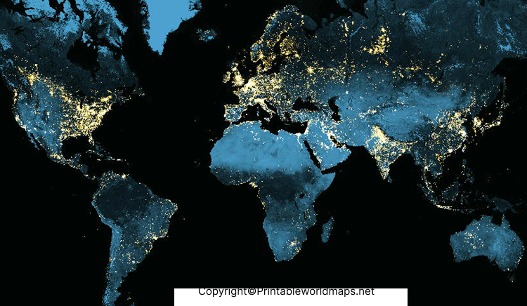
Nighttime maps are useful for geography lessons, classroom presentations, research projects, and visual comparisons of urban development. Bright areas generally indicate concentrated artificial lighting, while darker regions may include deserts, forests, mountains, oceans, and sparsely populated areas.

However, darkness does not always mean that a place is uninhabited. Lighting intensity also depends on infrastructure, electricity access, local development, and the data used to produce the map.
Night View of Map of World
The night view of a world map offers a different perspective on the distribution of cities and human activity. Major metropolitan areas often appear as bright clusters, while connected lights may reveal corridors of settlement and transportation.
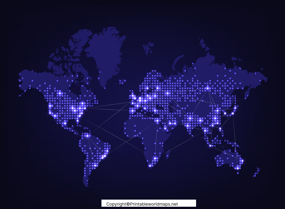
When studying this map, compare the patterns across North America, Europe, Asia, Africa, and other regions. Look for clusters around major population centers and differences between densely developed areas and regions with less artificial lighting.
Remember that a nighttime map is not a direct population map. Satellite-observed lights provide useful clues about human activity, but they cannot independently establish the exact population or economic output of a location.
Earth at Night
Earth at night is a fascinating subject for understanding the relationship between human activity and the natural environment. Satellite imagery can reveal large urban areas, illuminated coastlines, industrial zones, and differences in nighttime lighting across continents.

Nighttime satellite observations are also used in scientific research. Researchers study artificial light to investigate urban growth, changes in electrification, disaster impacts, and light pollution.
For reliable scientific context, NASA’s Earth Observatory provides information and imagery about Earth at night. Its resources can help readers distinguish scientific satellite observations from decorative or simplified map illustrations.
Printable World Map at Night
A printable world map at night can be useful for students, teachers, geography enthusiasts, and anyone who wants to study the planet’s nighttime appearance offline.
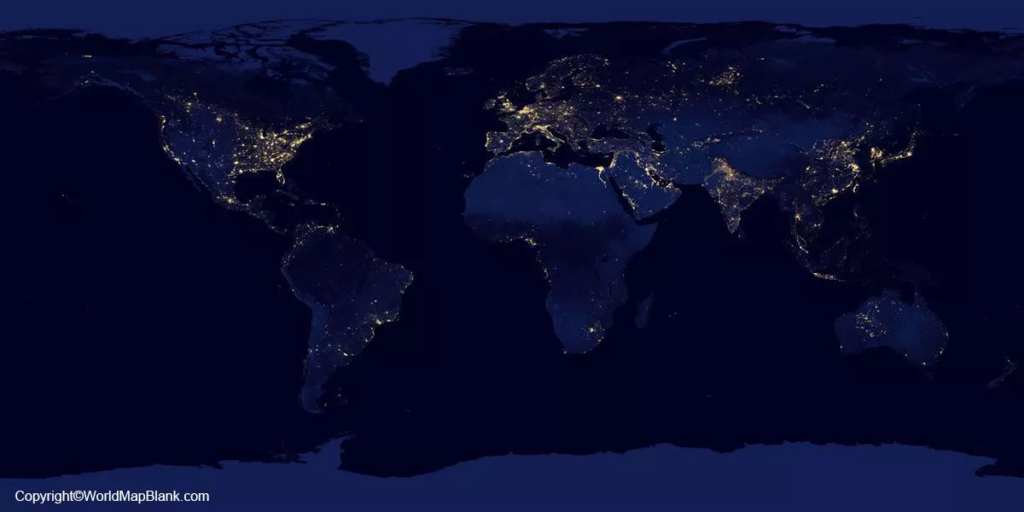
Before printing, check the PDF’s page dimensions, orientation, image resolution, and print settings. Select landscape orientation when appropriate and use a suitable paper size to keep the map readable.

A PDF is generally convenient for printing and sharing, while a PNG image may be easier to insert into a presentation or digital worksheet. The final print quality depends on the resolution and layout of the original file.
How to Read a World Map at Night
Use these simple steps to interpret a nighttime world map:
- Identify the continents: Start with the broad geographic layout before examining individual light patterns.
- Locate bright clusters: These often correspond to cities and densely developed regions.
- Compare regions: Observe differences in lighting distribution across continents and countries.
- Look for dark areas: Consider natural geography, settlement density, infrastructure, and electricity access before drawing conclusions.
- Check the map source: Find out whether the image uses satellite observations, a composite of multiple observations, or an illustrative design.
For more accurate analysis, compare nighttime imagery with population maps, land-cover data, and other geographic sources rather than relying on brightness alone.
Why Is Earth Bright in Some Places and Dark in Others?
The distribution of nighttime lights reflects several factors.
- Urbanization: Large cities often contain extensive residential, commercial, and public lighting.
- Infrastructure: Roads, industrial facilities, ports, and other developed areas may produce visible light.
- Electricity access: Differences in electrification can affect how much artificial lighting is visible.
- Natural geography: Deserts, mountains, forests, and other sparsely settled regions may appear relatively dark.
- Lighting practices: Building design, outdoor lighting, local regulations, and satellite observation conditions influence the appearance of a region.
These patterns are useful for geographic exploration, but they should be interpreted carefully. A bright region is not automatically wealthier, and a dark region is not necessarily uninhabited.
Uses of a Night View World Map
A world map at night can support a variety of educational and research activities.
- Education: Help students explore continents, cities, and human settlement patterns.
- Geography projects: Compare the distribution of artificial lighting across regions.
- Presentations: Use nighttime imagery to introduce urbanization and global development.
- Environmental awareness: Discuss light pollution and its potential effects on wildlife and ecosystems.
- Independent learning: Explore how human activity changes the appearance of Earth after dark.
For scientific assignments, cite the original data source and distinguish observed satellite imagery from maps that have been edited or designed for illustration.
Frequently Asked Questions About the World Map at Night
1. What is a world map at night?
A world map at night displays the Earth’s geography with visible artificial lights, helping readers explore cities, settlements, infrastructure, and patterns of human activity.
2. What do the bright lights on Earth at night represent?
Bright areas often represent artificial lighting from cities, towns, roads, industrial facilities, and other developed places. The exact interpretation depends on the imagery and its source.
3. Can I download a printable world map at night?
Yes. You can use the PNG and PDF resources linked in this article. Check that the relevant file is accessible and suitable for your intended printing size before downloading.
4. Is a world map at night accurate?
Scientific nighttime satellite imagery can provide valuable observations, but its accuracy depends on the data source, observation period, processing methods, and map design. A decorative map may not be suitable for precise research.
5. Why do some countries appear brighter than others?
Differences can reflect population distribution, urbanization, infrastructure, electricity access, and lighting practices. Brightness alone does not establish a country’s population, wealth, or development level.
6. What is the difference between a nighttime map and a regular world map?
A conventional world map may emphasize political borders, terrain, or physical features. A nighttime map emphasizes artificial lighting and its geographic distribution.
7. Where can I find scientific images of Earth at night?
NASA’s Earth Observatory publishes educational resources and satellite imagery about nighttime lights. Start here: https://earthobservatory.nasa.gov/features/NightLights
Reference links
https://earthobservatory.nasa.gov/features/NightLights
https://printableworldmaps.net/wp-content/uploads/2023/07/map-of-world-at-night-1.png
https://printableworldmaps.net/wp-content/uploads/2025/05/map-of-world-at-night-1.pdf
https://printableworldmaps.net/wp-content/uploads/2023/07/map-of-world-night-1.png
https://printableworldmaps.net/wp-content/uploads/2025/05/map-of-world-night-1.pdf
https://worldmapblank.com/wp-content/uploads/2022/01/world-maps-with-night-1024×512.jpg
https://printableworldmaps.net/wp-content/uploads/2023/07/world-maps-with-night.pdf
https://printableworldmaps.net/wp-content/uploads/2023/07/image-245-1024×512.png
https://printableworldmaps.net/wp-content/uploads/2023/07/world-maps-night.pdf
