
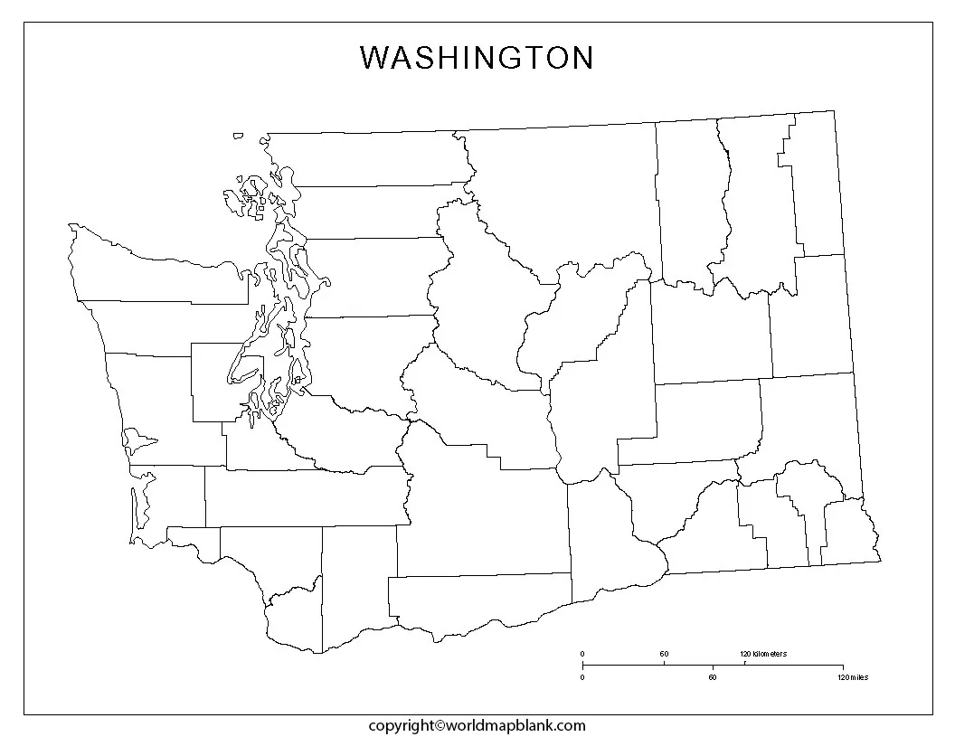

Blank Map of Washington resources can help students, teachers, homeschoolers, researchers, and anyone studying U.S. geography understand the shape and location of Washington State. This page provides printable outline maps, a transparent PNG map, and a practice worksheet that can be used for geography lessons, labeling activities, presentations, and classroom projects.
Washington is located in the Pacific Northwest and is bordered by Canada to the north, Idaho to the east, Oregon to the south, and the Pacific Ocean to the west. Olympia is the state capital, while Seattle is the largest city. Washington became the 42nd U.S. state on November 11, 1889.
Blank Map of Washington – Outline
A Blank Map of Washington is useful when students need to study the state’s shape, location, borders, and major geographic features without the distraction of a fully labeled map. An outline map can also be used as a base for labeling cities, rivers, mountain ranges, counties, or other geographic features.
Washington covers 71,298 square miles (184,661 square kilometers) in total area, according to the U.S. Census Bureau. Its western boundary reaches the Pacific Ocean, while its northern boundary includes the international border with British Columbia, Canada. Idaho lies to the east, and Oregon is directly south. The Columbia River forms a substantial portion of the boundary between Washington and Oregon.
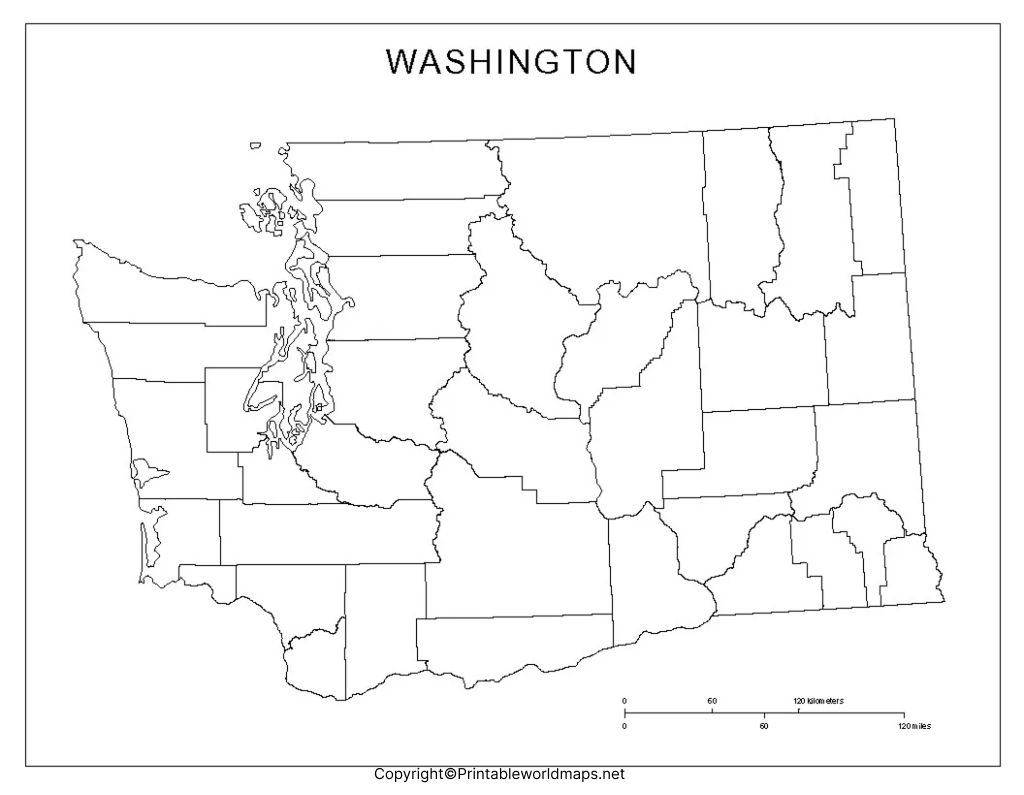
What Can You Learn From a Washington Outline Map?
A blank outline map can be used to practice:
- The location and shape of Washington State
- Washington’s neighboring states and Canadian border
- Olympia, the state capital
- Seattle and other major cities
- The Pacific Ocean and Puget Sound
- The Columbia River
- The Cascade Range and Olympic Mountains
- County locations and boundaries
- Regional geography, including western and eastern Washington
For teachers, the outline can be used for quizzes, labeling exercises, geography assignments, and classroom discussions.
Printable Map of Washington
A printable map of Washington is useful for students, teachers, homeschool lessons, geography activities, and educational projects. A printable map can be downloaded and used as a quick reference when studying Washington’s location within the United States.
Printable Map of Washington:
Use the printable version for classroom worksheets, homework, geography projects, and educational presentations.
PDF version:
The PDF format is particularly useful when you want to print the map while maintaining its page layout.
PNG vs. PDF: Which Washington Map Should You Use?
The best format depends on how you plan to use the map.
- PNG: Best for websites, presentations, digital worksheets, online lessons, and graphics.
- PDF: Better for printing, sharing documents, and preserving page formatting.
- Transparent PNG: Useful when the map needs to be placed over a colored background or incorporated into a presentation or design.
For classroom printing, the PDF version is generally the more convenient choice. For PowerPoint presentations, websites, and digital projects, a PNG can be easier to position and resize.
Transparent PNG Blank Map Of Washington
A transparent PNG blank map of Washington can be useful for digital learning materials because the transparent background allows the map outline to be placed over another background, worksheet, presentation slide, or graphic.
This format is particularly helpful for:
- PowerPoint and Google Slides presentations
- Digital geography worksheets
- Educational websites
- Classroom presentations
- Graphic design projects
- Online teaching materials
- Map-labeling activities
A transparent map can also make it easier to add your own labels, colors, symbols, or geographic information without creating a new map from scratch.
Washington Geography at a Glance
Washington has a highly varied landscape. The Cascade Range divides much of the state into distinct western and eastern geographic regions. Western Washington includes the Olympic Peninsula, Puget Sound, coastal areas, and extensive forested landscapes. Eastern Washington includes the Columbia Plateau and areas with a drier climate.
Some important geographic features include:
- Olympic Mountains – Located on the Olympic Peninsula in northwestern Washington.
- Cascade Range – A major north-south mountain range crossing the state.
- Mount Rainier – At 14,410 feet (4,392 meters), it is the highest point in Washington.
- Puget Sound – A major inland marine waterway surrounded by numerous islands, bays, and peninsulas.
- Columbia River – One of the most important rivers in the Pacific Northwest and part of the Washington-Oregon boundary.
- Columbia Plateau – A broad geographic region covering much of eastern Washington.
- Pacific Ocean – Forms Washington’s western boundary.
The U.S. Geological Survey describes Washington as a state of strong geographic contrasts, including rainforest environments west of the Cascades and much drier landscapes to the east.
Washington Blank Map worksheet
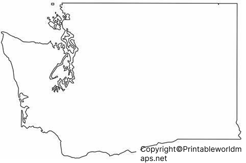
A Washington blank map worksheet can turn an outline map into an interactive geography exercise. Students can use the worksheet to identify and label important places instead of simply viewing a completed map.
Possible worksheet activities include:
- Label Olympia, the state capital.
- Mark Seattle and other major cities.
- Identify Washington’s neighboring states.
- Mark Canada along the northern border.
- Locate the Pacific Ocean.
- Identify the Columbia River.
- Label the Cascade Range.
- Locate Mount Rainier.
- Identify Puget Sound.
- Add county names or regional boundaries.
Teachers can adapt these activities for elementary, middle school, high school, home school, or introductory geography lessons.
Interesting Facts About Washington State
Adding factual information alongside a map makes geography learning more meaningful.
1. Washington joined the United States in 1889
Washington became the 42nd state on November 11, 1889.
2. Olympia is the capital
Olympia is located at the southern end of Puget Sound and serves as Washington’s state capital.
3. Seattle is the largest city
Seattle is Washington’s largest city and one of the major urban centers of the Pacific Northwest.
4. Mount Rainier is the state’s highest point
Mount Rainier reaches 14,410 feet (4,392 meters) above sea level and is the highest elevation in Washington.
5. Washington has major geographic contrasts
The Cascade Range contributes to significant differences between western and eastern Washington. The west is generally wetter, while parts of eastern Washington have a much drier climate.
6. Washington is known for its forests and orchards
According to the U.S. Geological Survey, about half of Washington is forested, and the state’s orchards produce more than half of the apples sold in the United States.
7. Washington is part of the Pacific Northwest
Its location on the Pacific Coast and its relationship with the Cascade Range, Olympic Mountains, Puget Sound, and Columbia River make Washington an important part of the Pacific Northwest region.
How to Use a Blank Washington Map
A blank map can be used in several ways depending on the learner’s goal.
For students:
Print the outline and label important cities, rivers, mountains, neighboring states, and geographic regions.
For teachers:
Use the map as a classroom quiz, homework activity, or geography assessment.
For homeschool lessons:
Combine the map with Washington state history, physical geography, climate, natural resources, and state symbols.
For presentations:
Use a transparent PNG to create customized slides with your own labels and annotations.
For digital learning:
Add the map to an online worksheet or learning management system and ask students to identify specific geographic features.
Frequently Asked Questions About the Blank Map of Washington
What is a Blank Map of Washington used for?
A Blank Map of Washington can be used for geography lessons, school assignments, labeling exercises, classroom quizzes, presentations, homeschool activities, and state geography practice.
What is the capital of Washington?
The capital of Washington State is Olympia.
What states border Washington?
Washington borders Oregon to the south and Idaho to the east. Canada borders Washington to the north, while the Pacific Ocean is along the western side of the state.
Does Washington have a Pacific Ocean coastline?
Yes. Washington has a coastline along the Pacific Ocean on the western side of the state.
What is the highest point in Washington?
Mount Rainier is the highest point in Washington at 14,410 feet (4,392 meters) above sea level.
What is the largest city in Washington?
Seattle is the largest city in Washington State.
Is the Washington map available as a PNG?
Yes. A PNG version is useful for websites, presentations, digital worksheets, and other online projects. A transparent PNG is particularly useful when you want to place the map over another background.
Is there a printable PDF version?
Yes. A PDF version is useful when the primary goal is printing or sharing a document while preserving the map’s page formatting.
Can students use the blank map as a worksheet?
Yes. Students can label cities, rivers, mountain ranges, neighboring states, geographic regions, and other features directly on the outline map.
Reference Links
https://www.census.gov/geographies/reference-files/2010/geo/state-area.html
https://pubs.usgs.gov/publication/fs20223021
https://leg.wa.gov/state-laws-and-rules/washington-state-constitution
https://kids.nationalgeographic.com/geography/states/article/washington

2 thoughts on “Printable Blank Map of Washington – Outline, Transparent map”